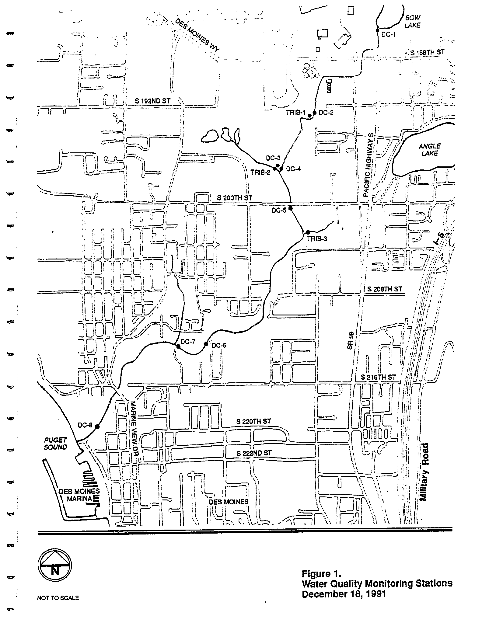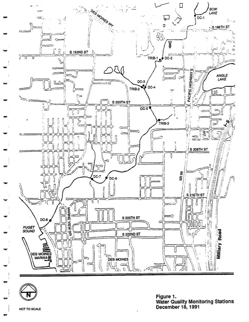
A map dated December 18, 1991 showing water quality monitoring stations (labeled DC-1 through DC-8 and TRIB-1 through TRIB-3) along Des Moines Creek and its tributaries in the Des Moines, Washington area near Sea-Tac Airport. The map identifies local landmarks including Bow Lake, Angle Lake, Puget Sound, Des Moines Marina, and major roads including Pacific Highway S, SR 99, and Military Road.Open full document
Notes
Map showing water quality monitoring stations in the Des Moines Creek area as of December 18, 1991. The map includes locations labeled DC-1 through DC-8, TRIB-1 through TRIB-3, various streets, Des Moines Marina, and geographic features like Bow Lake, Angle Lake, and Puget Sound.