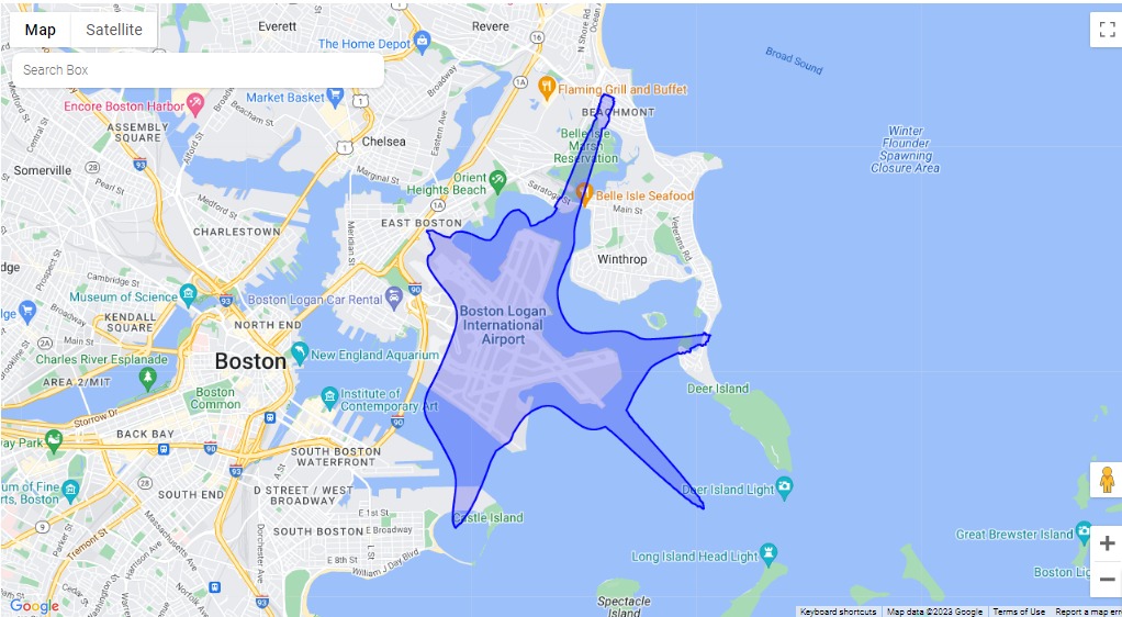
A Google Maps screenshot showing a blue polygon boundary drawn around Boston Logan International Airport (BOS) in East Boston, Massachusetts, extending over Boston Harbor toward Winthrop and Deer Island. The map includes visible labels for Boston Logan International Airport, surrounding neighborhoods, and landmarks such as Castle Island and Deer Island Light.Open full document
Notes
A Google Maps screenshot showing a blue polygon boundary drawn around Boston Logan International Airport (BOS) in East Boston, Massachusetts, extending over Boston Harbor toward Winthrop and Deer Island. The map includes visible labels for Boston Logan International Airport, surrounding neighborhoods, and landmarks such as Castle Island and Deer Island Light.