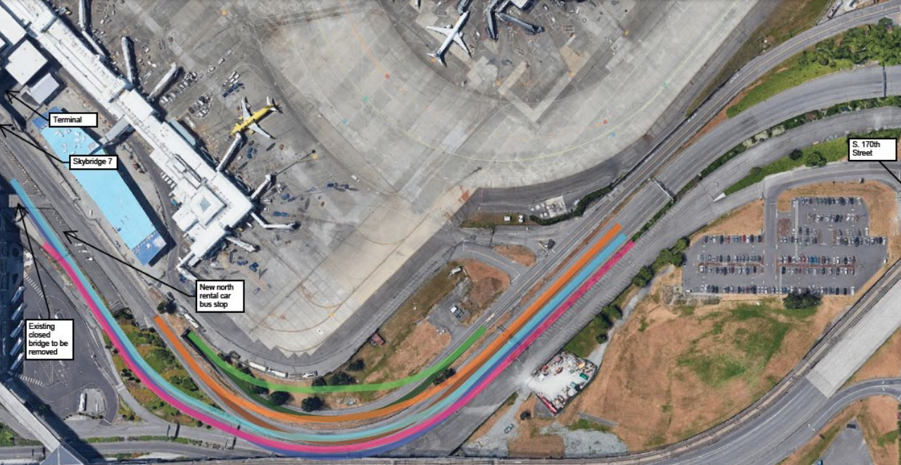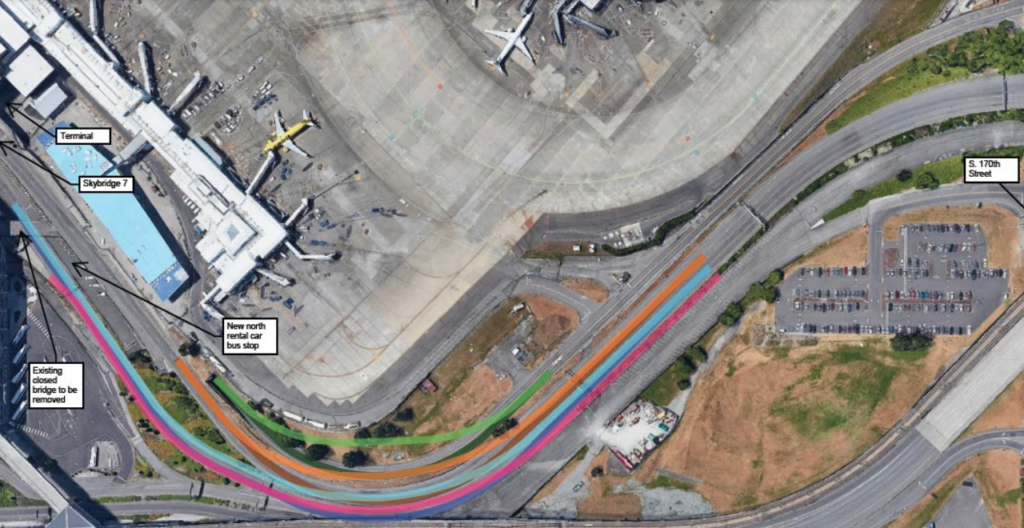
Aerial satellite image showing a proposed roadway reconfiguration at Seattle-Tacoma International Airport, with color-coded route overlays indicating new and existing traffic lanes near Skybridge 7 and the terminal. Labels identify a new north rental car bus stop, an existing closed bridge to be removed, and S. 170th Street to the east.Open full document
Notes
Aerial satellite image showing a proposed roadway reconfiguration at Seattle-Tacoma International Airport, with color-coded route overlays indicating new and existing traffic lanes near Skybridge 7 and the terminal. Labels identify a new north rental car bus stop, an existing closed bridge to be removed, and S. 170th Street to the east.