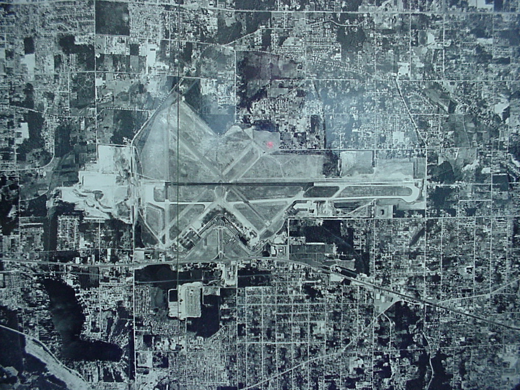
Black-and-white aerial or satellite photograph showing a major airport with multiple runways arranged in an X/parallel configuration, surrounded by a dense urban grid. The image appears to be a planning or reference map with a faint grid overlay, but contains no visible text, labels, or date information to identify the specific airport or time period.Open full document
Notes
Black-and-white aerial or satellite photograph showing a major airport with multiple runways arranged in an X/parallel configuration, surrounded by a dense urban grid. The image appears to be a planning or reference map with a faint grid overlay, but contains no visible text, labels, or date information to identify the specific airport or time period.