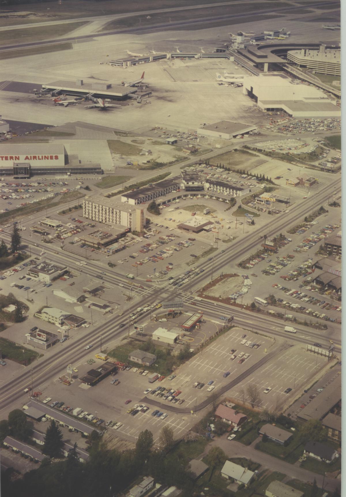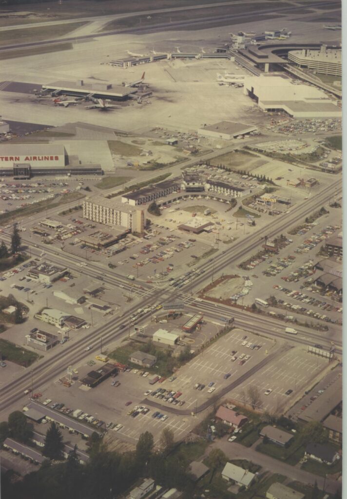
Aerial photograph looking north toward Sea-Tac Airport showing terminal buildings, aircraft at gates, and a Western Airlines facility (visible signage on left). The foreground shows the International Boulevard/Pacific Highway South commercial corridor with motels, parking lots, and retail businesses adjacent to the airport.Open full document
Notes
Aerial photograph looking north toward Sea-Tac Airport showing terminal buildings, aircraft at gates, and a Western Airlines facility (visible signage on left). The foreground shows the International Boulevard/Pacific Highway South commercial corridor with motels, parking lots, and retail businesses adjacent to the airport.