Notes
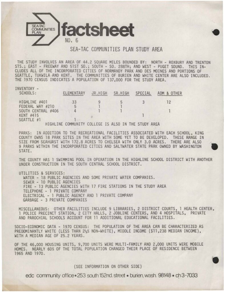
Sea-Tac Communities Plan Fact Sheet No. 6 covering the 44.2-square-mile study area bounded by Roxbury and Trenton Streets (north), Freeway and 51st South (east), South 288th (south), and Puget Sound (west). Includes incorporated cities of Normandy Park and Des Moines and portions of Seattle, Tukwila, and Kent, plus communities of Burien and White Center. 1970 census population of 137,000. Inventories schools (Highline #401, Federal Way #210, South Central #406, Kent #415, Seattle #1, Highline Community College), King County parks (18 sites ranging from Seahurst at 172.8 acres to Chelsea at 3.0 acres), Saltwater State Park, utilities and services (18 water agencies, 10 sewer agencies, 13 fire agencies with 17 stations), libraries, hospitals, and miscellaneous facilities. Socioeconomic data: median income $11,238, median age 25.2 years, 46,000 housing units including 9,700 multi-family and 2,000 mobile homes. Sponsored by Port Of Seattle and King County. Includes annotated map of noise station field trip dated May 30, 1973.