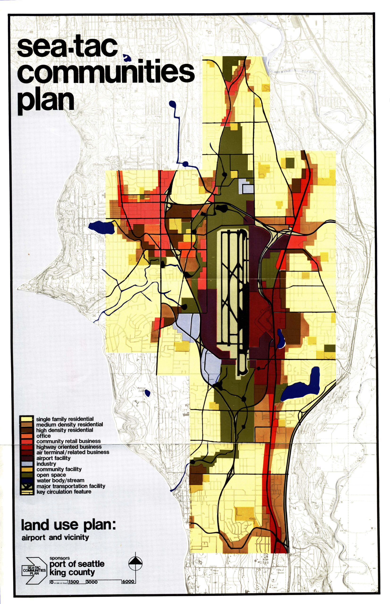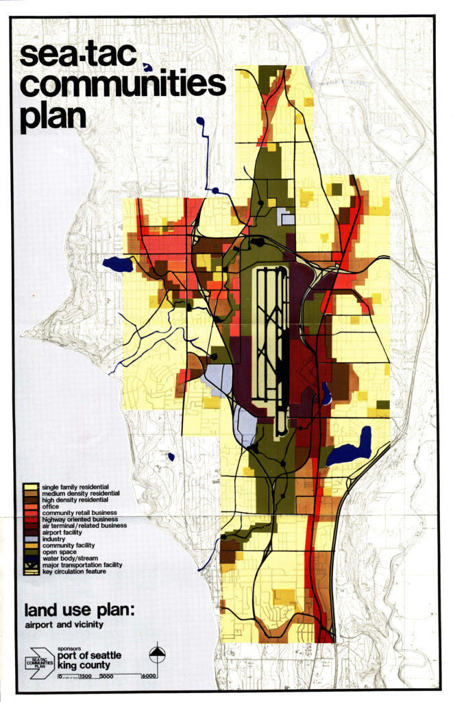
A color-coded land use planning map produced under the Sea-Tac Communities Plan, sponsored by the Port of Seattle and King County, depicting zoning categories (single-family residential, commercial, industrial, airport facility, open space, etc.) and circulation features in the area surrounding Seattle-Tacoma International Airport. The map's legend, title text, sponsor logos, and scale bar are all clearly legible.Open full document
Notes
A color-coded land use planning map produced under the Sea-Tac Communities Plan, sponsored by the Port of Seattle and King County, depicting zoning categories (single-family residential, commercial, industrial, airport facility, open space, etc.) and circulation features in the area surrounding Seattle-Tacoma International Airport. The map’s legend, title text, sponsor logos, and scale bar are all clearly legible.