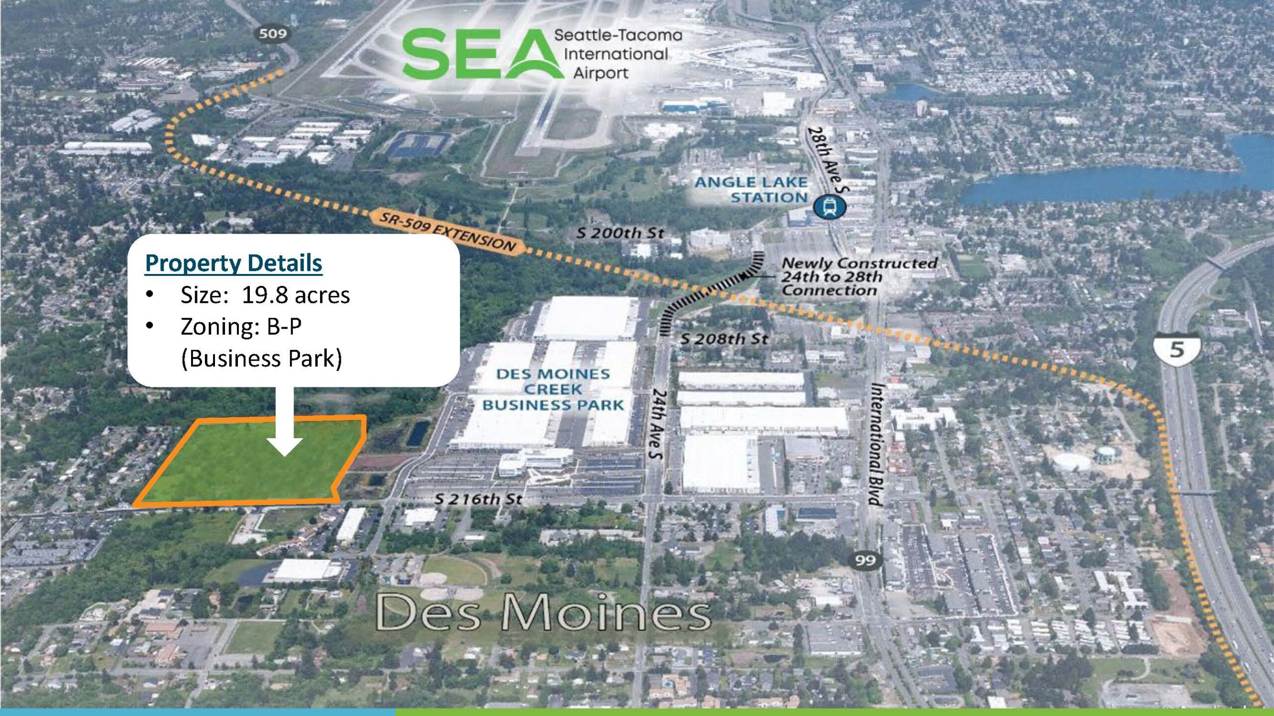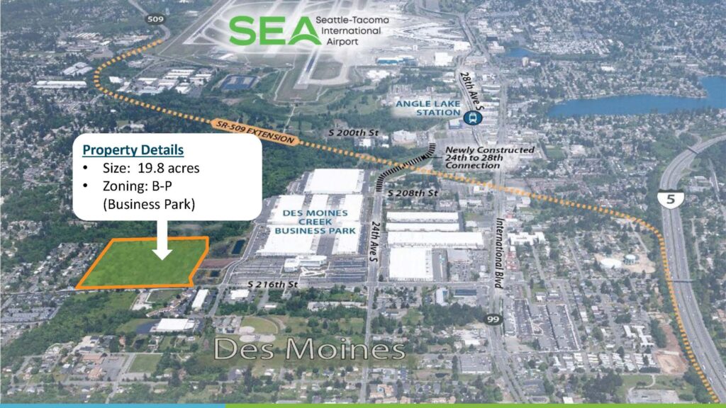
Aerial marketing map depicting a 19.8-acre Business Park (B-P) zoned property in Des Moines, Washington, located adjacent to the Des Moines Creek Business Park and near Seattle-Tacoma International Airport (SEA). The map highlights the SR-509 Extension corridor, Angle Lake Station, the newly constructed 24th-to-28th Street connection, and proximity to Interstate 5 and Highway 99.Open full document
Notes
Aerial marketing map depicting a 19.8-acre Business Park (B-P) zoned property in Des Moines, Washington, located adjacent to the Des Moines Creek Business Park and near Seattle-Tacoma International Airport (SEA). The map highlights the SR-509 Extension corridor, Angle Lake Station, the newly constructed 24th-to-28th Street connection, and proximity to Interstate 5 and Highway 99.