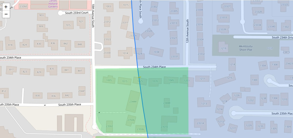
A GIS map showing residential parcels near South 234th Place in the SeaTac/Des Moines area, with a blue diagonal line indicating a noise contour or flight path boundary related to Sea-Tac Airport. Street addresses and parcel numbers are visible, including properties along 10th Avenue South, 12th Avenue South, and South 234th–235th Places, with overlapping green and blue shaded zones likely representing different noise exposure levels. The 'Akinlosotu Short Plat' subdivision is labeled in the upper right area.Open full document
Notes
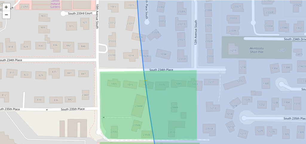
A GIS map showing residential parcels near South 234th Place in the SeaTac/Des Moines area, with a blue diagonal line indicating a noise contour or flight path boundary related to Sea-Tac Airport. Street addresses and parcel numbers are visible, including properties along 10th Avenue South, 12th Avenue South, and South 234th–235th Places, with overlapping green and blue shaded zones likely representing different noise exposure levels. The ‘Akinlosotu Short Plat’ subdivision is labeled in the upper right area.