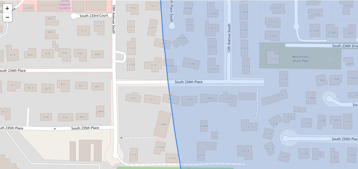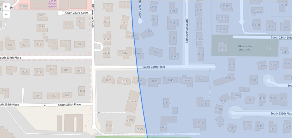
A GIS map showing residential parcels in the South 234th Place corridor near 10th and 12th Avenue South in Des Moines/SeaTac, Washington, with a blue diagonal line indicating a noise contour or flight path boundary overlaid on the street grid. The shaded (blue) zone to the right of the line likely represents an airport noise impact area associated with Seattle-Tacoma International Airport policy mapping.Open full document
Notes
A GIS map showing residential parcels in the South 234th Place corridor near 10th and 12th Avenue South in Des Moines/SeaTac, Washington, with a blue diagonal line indicating a noise contour or flight path boundary overlaid on the street grid. The shaded (blue) zone to the right of the line likely represents an airport noise impact area associated with Seattle-Tacoma International Airport policy mapping.