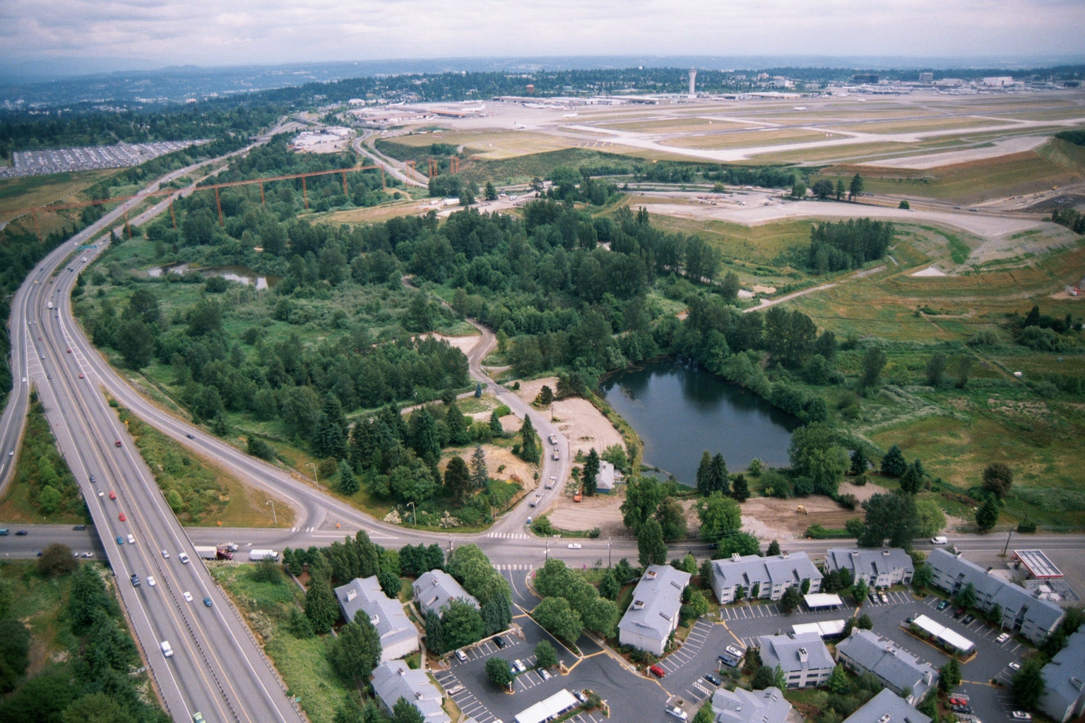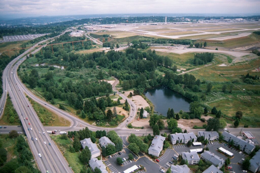
Aerial photograph looking north toward Seattle-Tacoma International Airport (Sea-Tac), showing the airport's runways and terminal area in the background. In the foreground are a multi-lane highway (likely SR-99 or I-5 corridor), a wooded green buffer zone with a retention pond, and a residential apartment complex, illustrating the airport's relationship to surrounding land uses relevant to noise-policy planning.Open full document
Notes
Aerial photograph looking north toward Seattle-Tacoma International Airport (Sea-Tac), showing the airport’s runways and terminal area in the background. In the foreground are a multi-lane highway (likely SR-99 or I-5 corridor), a wooded green buffer zone with a retention pond, and a residential apartment complex, illustrating the airport’s relationship to surrounding land uses relevant to noise-policy planning.