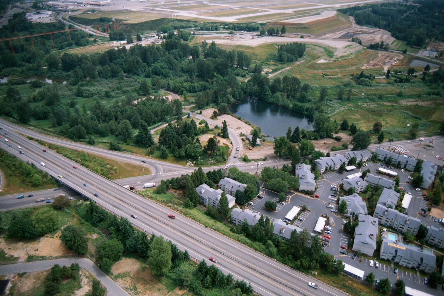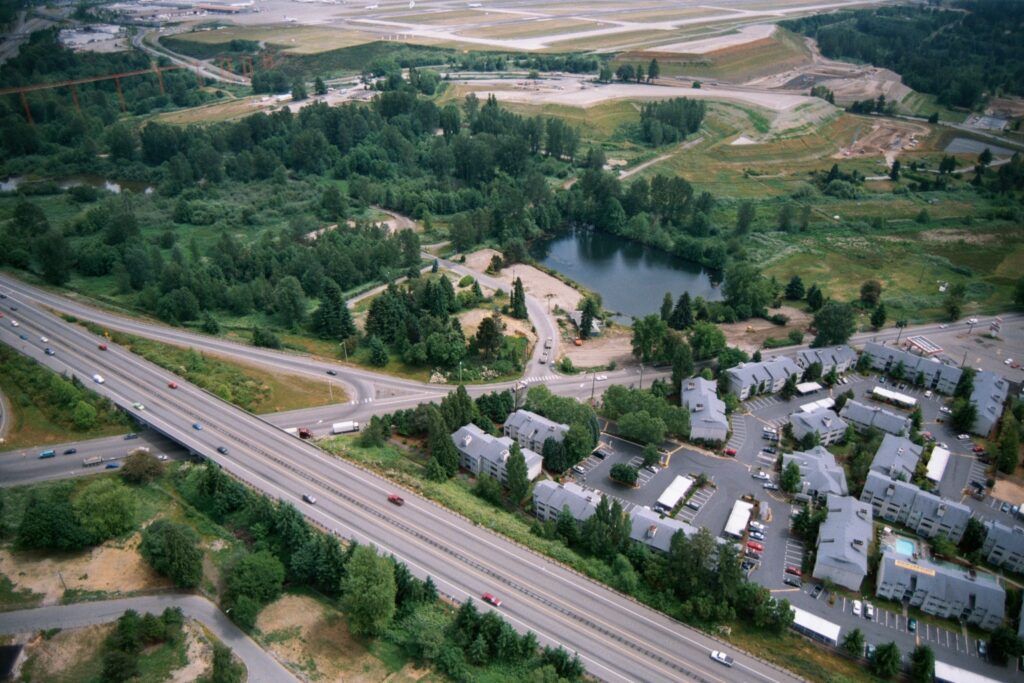
Aerial photograph showing a multi-lane highway interchange (likely I-5 or SR-99 corridor near Sea-Tac Airport) with a residential apartment complex, a small retention pond, dense tree buffers, and what appears to be airport runway infrastructure visible in the upper background. No visible text, watermarks, or captions are present in the image.Open full document
Notes
Aerial photograph showing a multi-lane highway interchange (likely I-5 or SR-99 corridor near Sea-Tac Airport) with a residential apartment complex, a small retention pond, dense tree buffers, and what appears to be airport runway infrastructure visible in the upper background. No visible text, watermarks, or captions are present in the image.