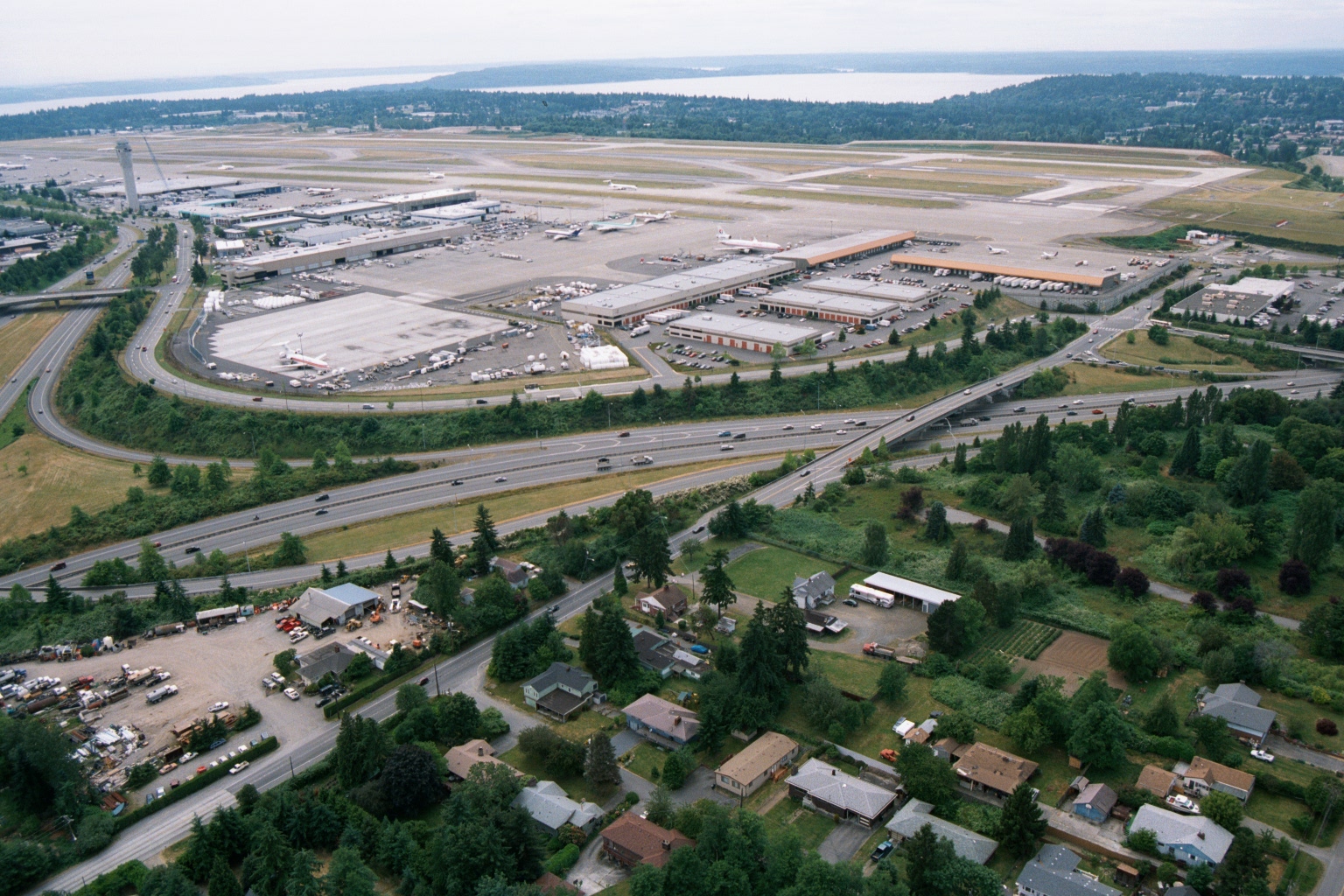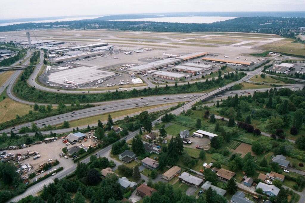
An aerial photograph looking northward over Seattle-Tacoma International Airport (Sea-Tac), showing the terminal, concourses, runways, and cargo facilities. Interstate 5 is visible in the foreground, with residential neighborhoods of the SeaTac/Burien area in the lower portion of the image and Puget Sound visible in the background.Open full document
Notes
An aerial photograph looking northward over Seattle-Tacoma International Airport (Sea-Tac), showing the terminal, concourses, runways, and cargo facilities. Interstate 5 is visible in the foreground, with residential neighborhoods of the SeaTac/Burien area in the lower portion of the image and Puget Sound visible in the background.