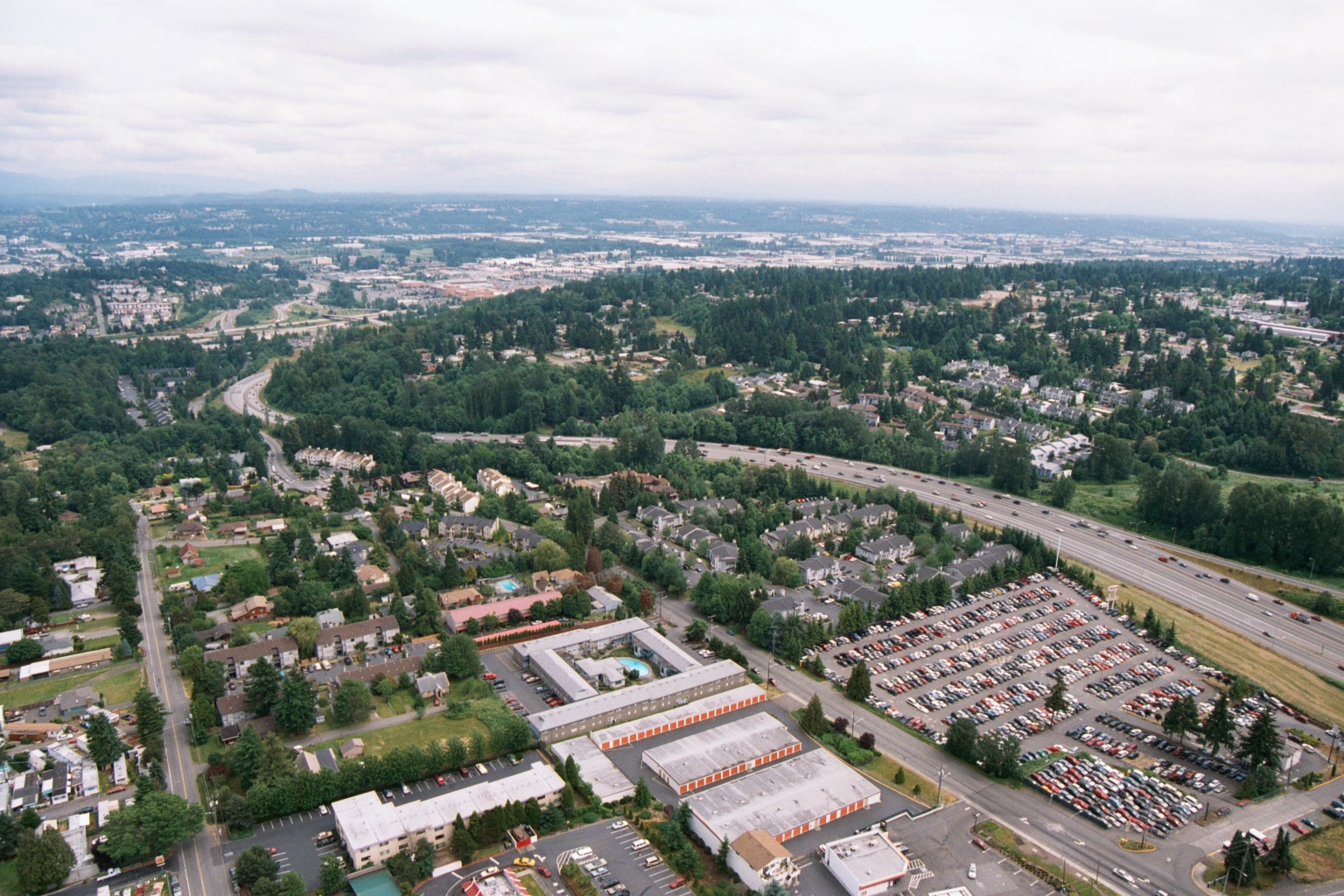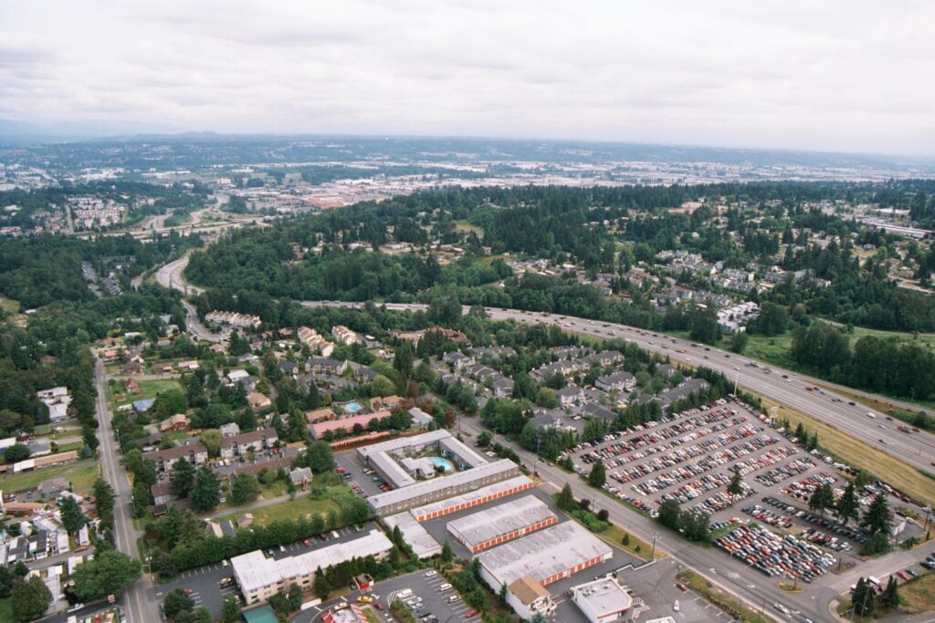
Aerial photograph showing a suburban residential and commercial area bisected by a multi-lane interstate highway, consistent with the greater Seattle/Sea-Tac region based on the Pacific Northwest vegetation, terrain, and urban development patterns. Visible features include a Public Storage facility (identifiable by orange-and-white branding), large parking lots, apartment complexes, and dense evergreen tree coverage stretching toward the horizon.Open full document
Notes
Aerial photograph showing a suburban residential and commercial area bisected by a multi-lane interstate highway, consistent with the greater Seattle/Sea-Tac region based on the Pacific Northwest vegetation, terrain, and urban development patterns. Visible features include a Public Storage facility (identifiable by orange-and-white branding), large parking lots, apartment complexes, and dense evergreen tree coverage stretching toward the horizon.