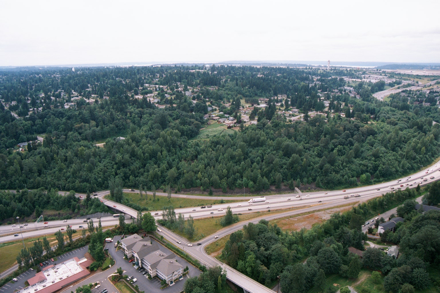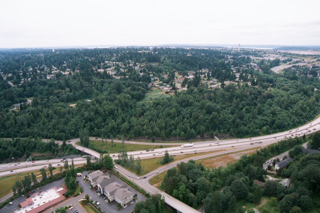
Aerial photograph showing a multi-lane freeway (likely I-5 or SR-99 in the Sea-Tac/south King County area) with an interchange, surrounding dense conifer forest, low-density residential development, and a small commercial building complex in the foreground. A body of water consistent with Puget Sound is faintly visible in the background, suggesting this location is west of the airport corridor.Open full document
Notes
Aerial photograph showing a multi-lane freeway (likely I-5 or SR-99 in the Sea-Tac/south King County area) with an interchange, surrounding dense conifer forest, low-density residential development, and a small commercial building complex in the foreground. A body of water consistent with Puget Sound is faintly visible in the background, suggesting this location is west of the airport corridor.