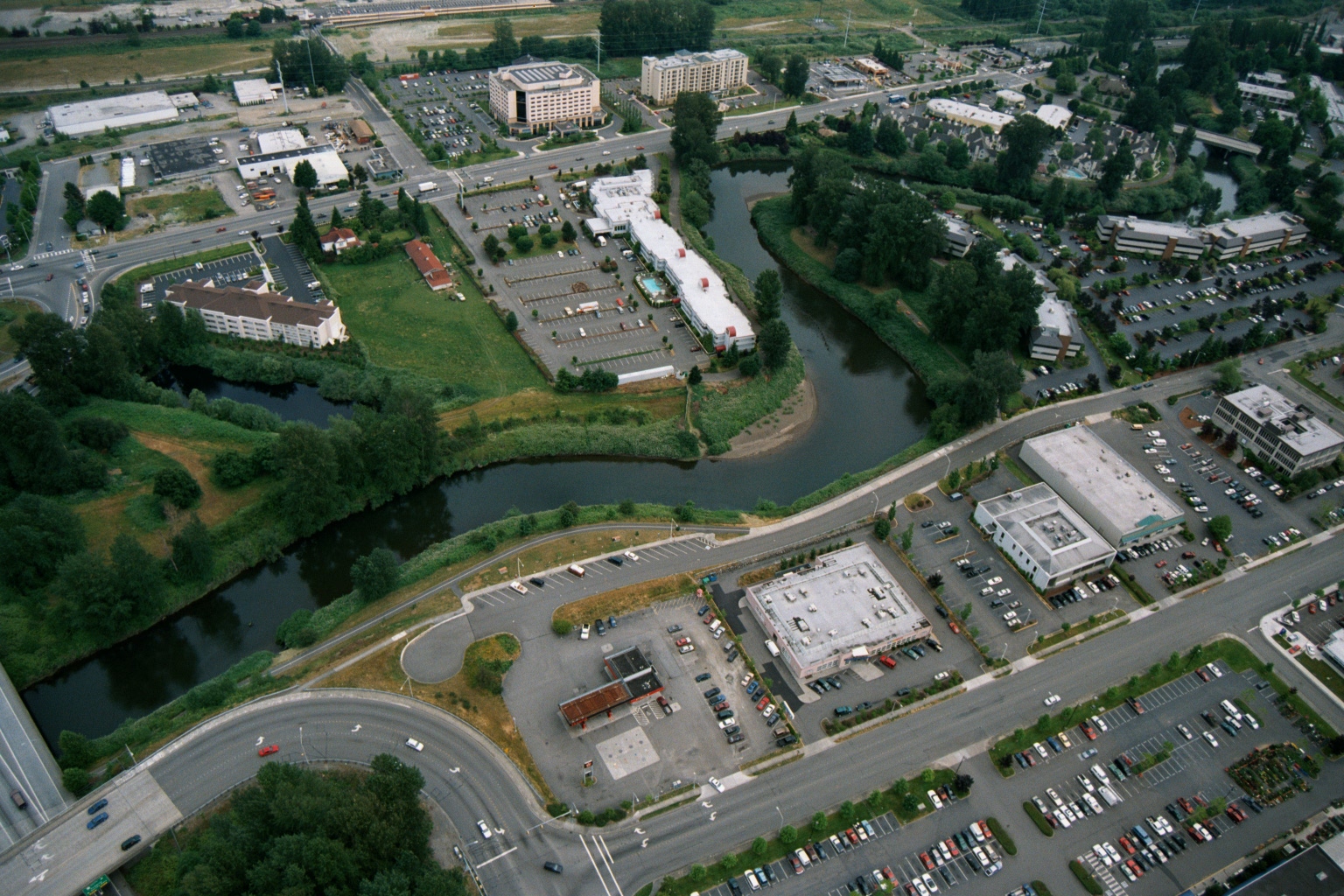
Aerial view showing a suburban area with hotels, office buildings, parking lots, and a meandering river or creek corridor with dense riparian vegetation. The image appears to document land use and development patterns near a waterway, potentially relevant to noise or environmental planning in the Sea-Tac Airport region of Washington State.Open full document
Notes
Aerial view showing a suburban area with hotels, office buildings, parking lots, and a meandering river or creek corridor with dense riparian vegetation. The image appears to document land use and development patterns near a waterway, potentially relevant to noise or environmental planning in the Sea-Tac Airport region of Washington State.