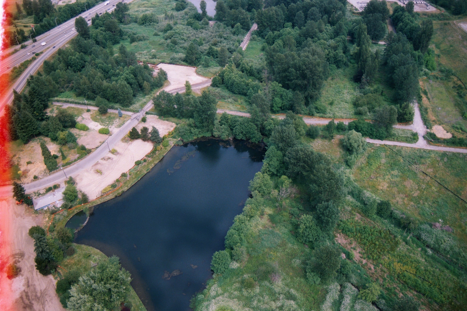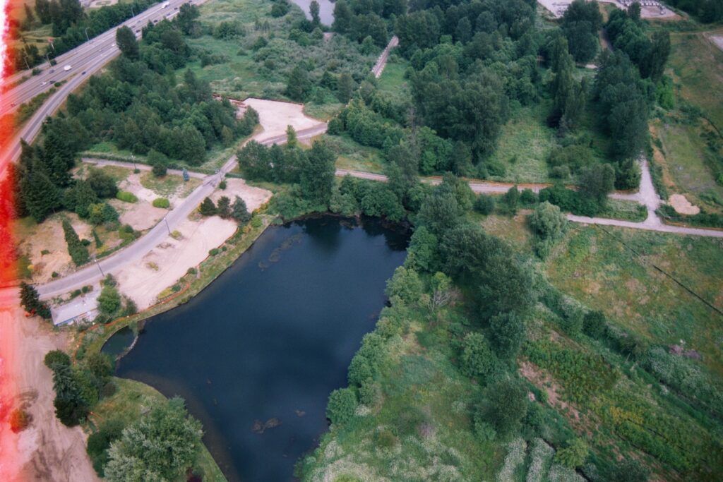
Aerial film photograph showing a dark pond or retention basin adjacent to a winding road, with a multi-lane highway visible in the upper left. The lush green, semi-developed landscape and highway configuration are consistent with the Sea-Tac Airport region of Washington State. The film shows edge fogging on the left side.Open full document
Notes
Aerial film photograph showing a dark pond or retention basin adjacent to a winding road, with a multi-lane highway visible in the upper left. The lush green, semi-developed landscape and highway configuration are consistent with the Sea-Tac Airport region of Washington State. The film shows edge fogging on the left side.