Notes
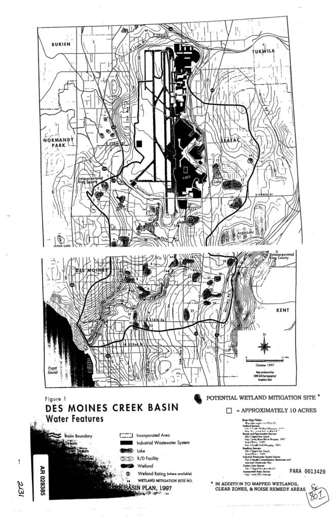
Figure 1 from the Des Moines Creek Basin Plan (1997), a map produced by DNR GIS/Cartography/Graphics Unit showing water features and potential wetland mitigation sites in the Des Moines Creek Basin. Covers areas including Burien, Normandy Park, SeaTac, Tukwila, Des Moines, Kent, and unincorporated King County. Map legend identifies basin boundary, streams, piped streams, wetlands, wetland ratings, R/D facilities, industrial wastewater system, lakes, and incorporated areas. Numbered wetland mitigation sites marked, including potential sites of approximately 10 acres. Notes additional mapped wetlands, clear zones, and noise remedy areas. Administrative Record number PARA 0013420.