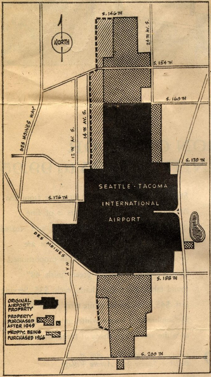
A map showing the land boundaries of Seattle-Tacoma International Airport, distinguishing between original airport property (solid black), property purchased after 1949 (crosshatch pattern), and property being purchased in 1966 (diagonal hatch pattern). The map shows surrounding streets including Des Moines Way, S. 146th through S. 200th Streets, and avenues including 12th, 14th, and 24th Ave S.Open full document
Notes
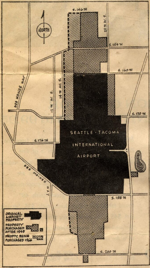
A map showing the land boundaries of Seattle-Tacoma International Airport, distinguishing between original airport property (solid black), property purchased after 1949 (crosshatch pattern), and property being purchased in 1966 (diagonal hatch pattern). The map shows surrounding streets including Des Moines Way, S. 146th through S. 200th Streets, and avenues including 12th, 14th, and 24th Ave S.