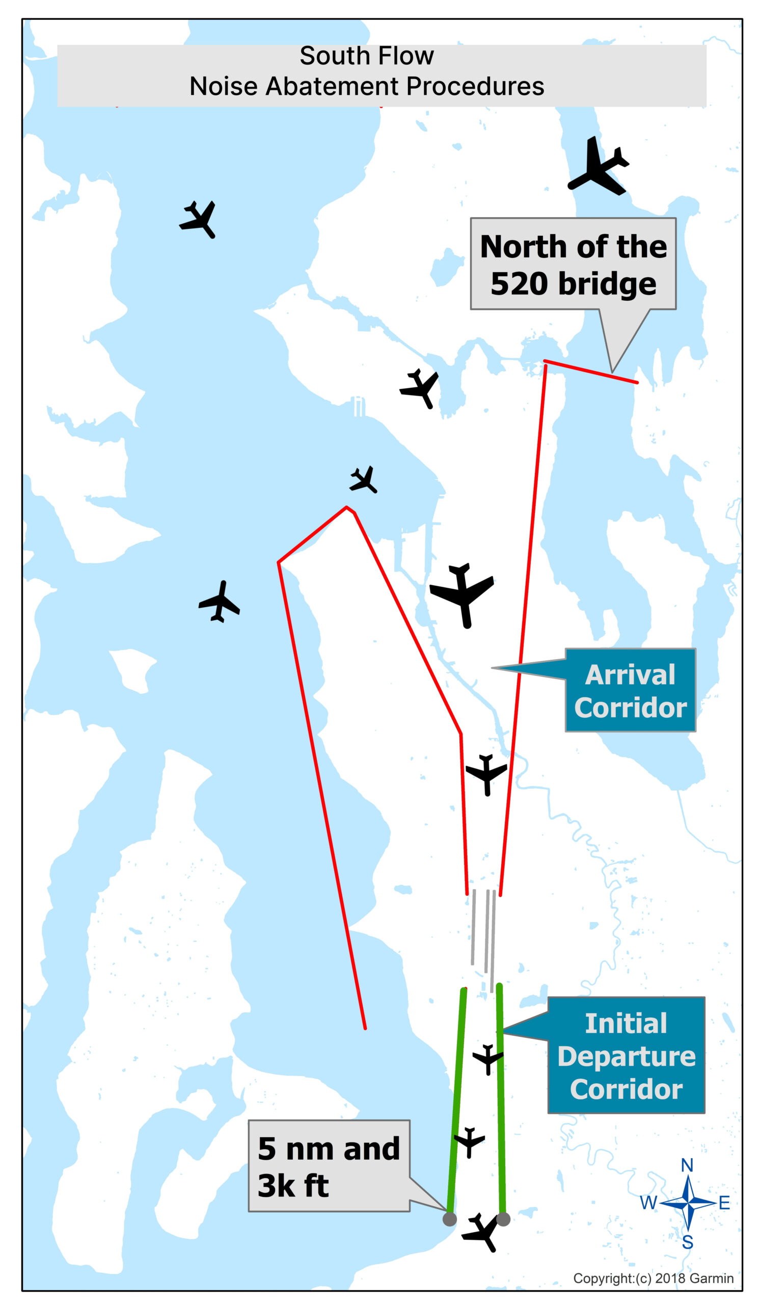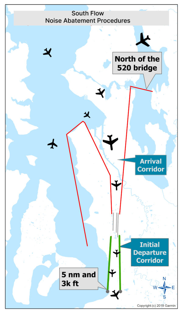
A 2018 Garmin-based aeronautical chart illustrating South Flow Noise Abatement Procedures at Seattle-Tacoma International Airport, showing the Initial Departure Corridor (green lines), Arrival Corridor (red lines), and a reference point north of the SR-520 bridge, with aircraft maintaining 5 nautical miles and 3,000 feet altitude constraints.Open full document
Notes
An aviation chart showing noise abatement procedures for south flow operations for Sea-Tac Airport, depicting aircraft flight paths, arrival and departure corridors, and specific locations including the 520 bridge area. The chart includes reference points at 5 nautical miles and 3,000 feet altitude.