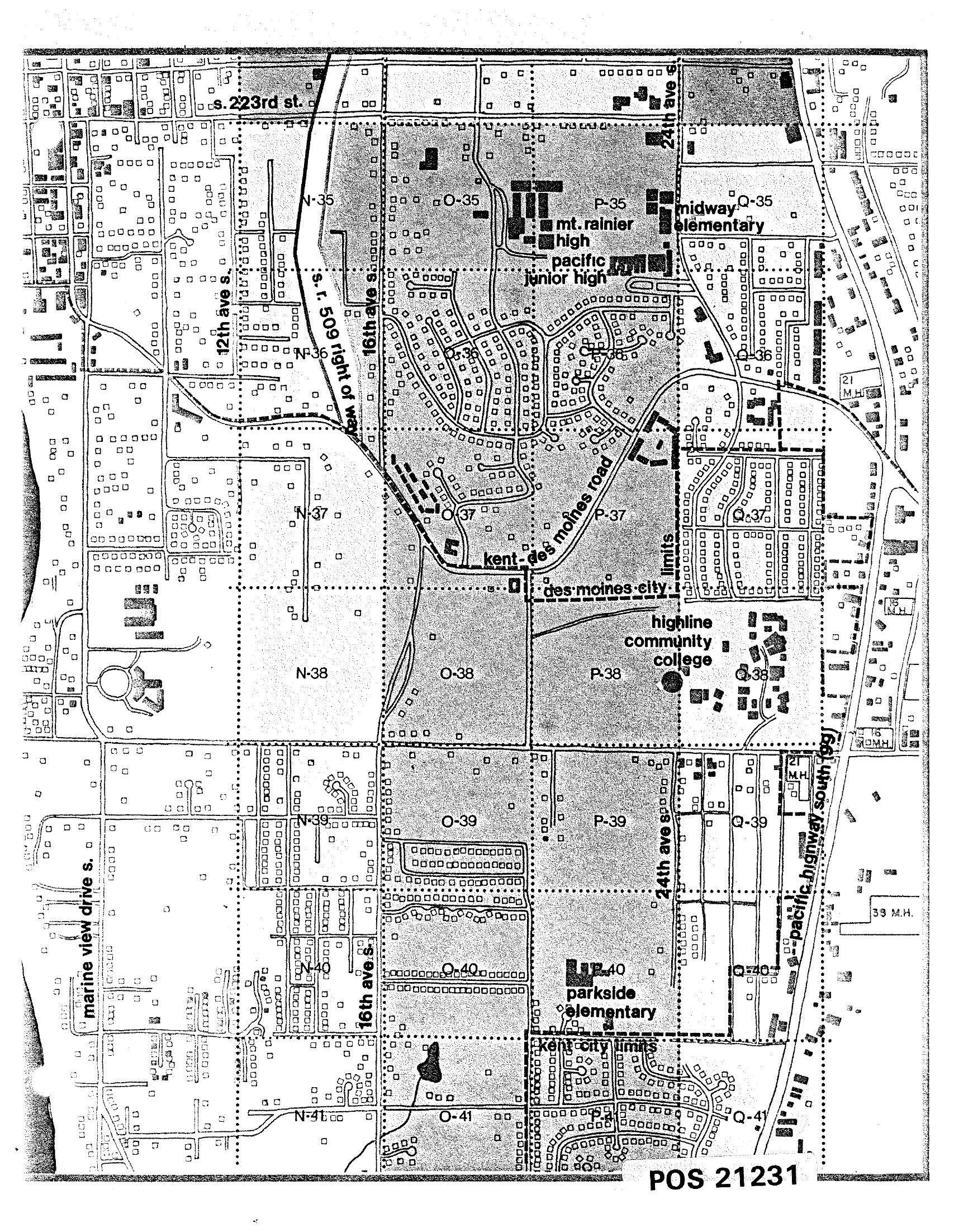
A black-and-white planning grid map (document reference POS 21231) showing residential and institutional land use in the Des Moines/Kent area south of Seattle, including landmarks such as Mt. Rainier High School, Pacific Junior High, Midway Elementary, Parkside Elementary, and Highline Community College. Major roads visible include S. 223rd St., 16th Ave. S., 24th Ave. S., Kent-Des Moines Road, and Pacific Highway South, with Des Moines city limits and Kent city limits marked.Open full document
Notes
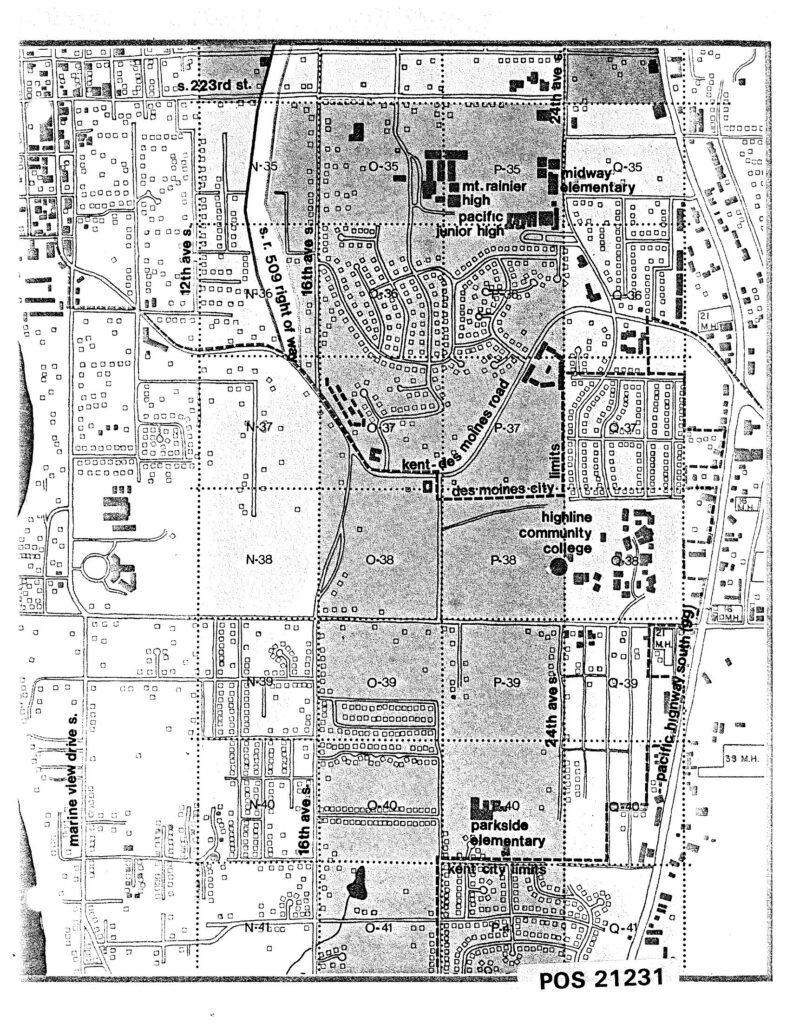
A black-and-white planning grid map (document reference POS 21231) showing residential and institutional land use in the Des Moines/Kent area south of Seattle, including landmarks such as Mt. Rainier High School, Pacific Junior High, Midway Elementary, Parkside Elementary, and Highline Community College. Major roads visible include S. 223rd St., 16th Ave. S., 24th Ave. S., Kent-Des Moines Road, and Pacific Highway South, with Des Moines city limits and Kent city limits marked.