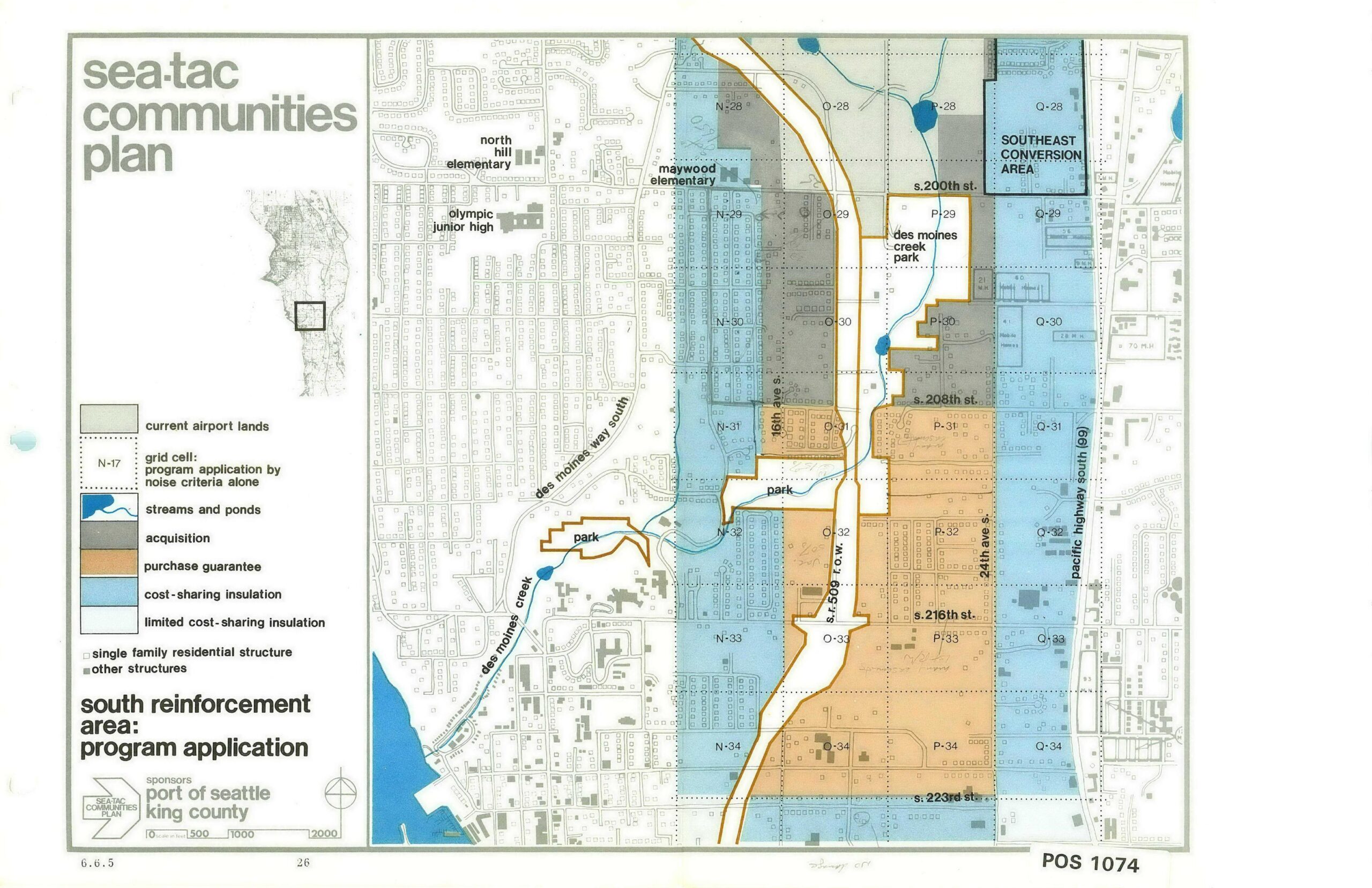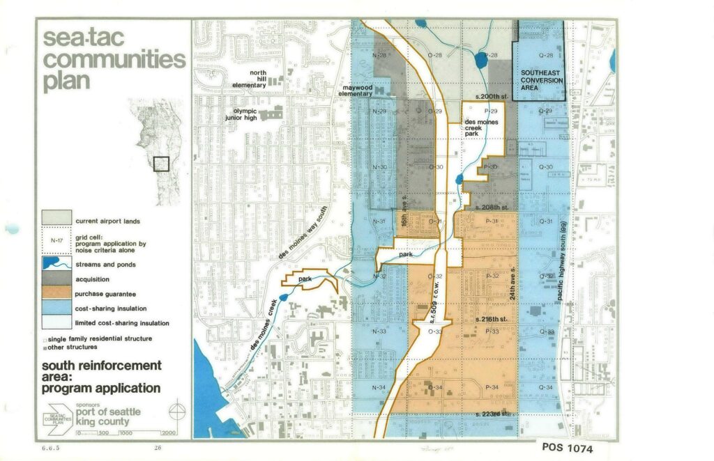
This planning map, document number POS 1074 (sheet 6.6.5, page 26), was produced for the Sea-Tac Communities Plan and sponsored by the Port of Seattle and King County. It depicts the South Reinforcement Area program application, showing grid cells color-coded by noise-mitigation program type—including acquisition, purchase guarantee, cost-sharing insulation, and limited cost-sharing insulation—across the area roughly bounded by S. 200th St. to the north and S. 223rd St. to the south, with landmarks such as Des Moines Creek Park, Maywood Elementary, and Pacific Highway South (SR 99) labeled.Open full document
Notes
This planning map, document number POS 1074 (sheet 6.6.5, page 26), was produced for the Sea-Tac Communities Plan and sponsored by the Port of Seattle and King County. It depicts the South Reinforcement Area program application, showing grid cells color-coded by noise-mitigation program type—including acquisition, purchase guarantee, cost-sharing insulation, and limited cost-sharing insulation—across the area roughly bounded by S. 200th St. to the north and S. 223rd St. to the south, with landmarks such as Des Moines Creek Park, Maywood Elementary, and Pacific Highway South (SR 99) labeled.