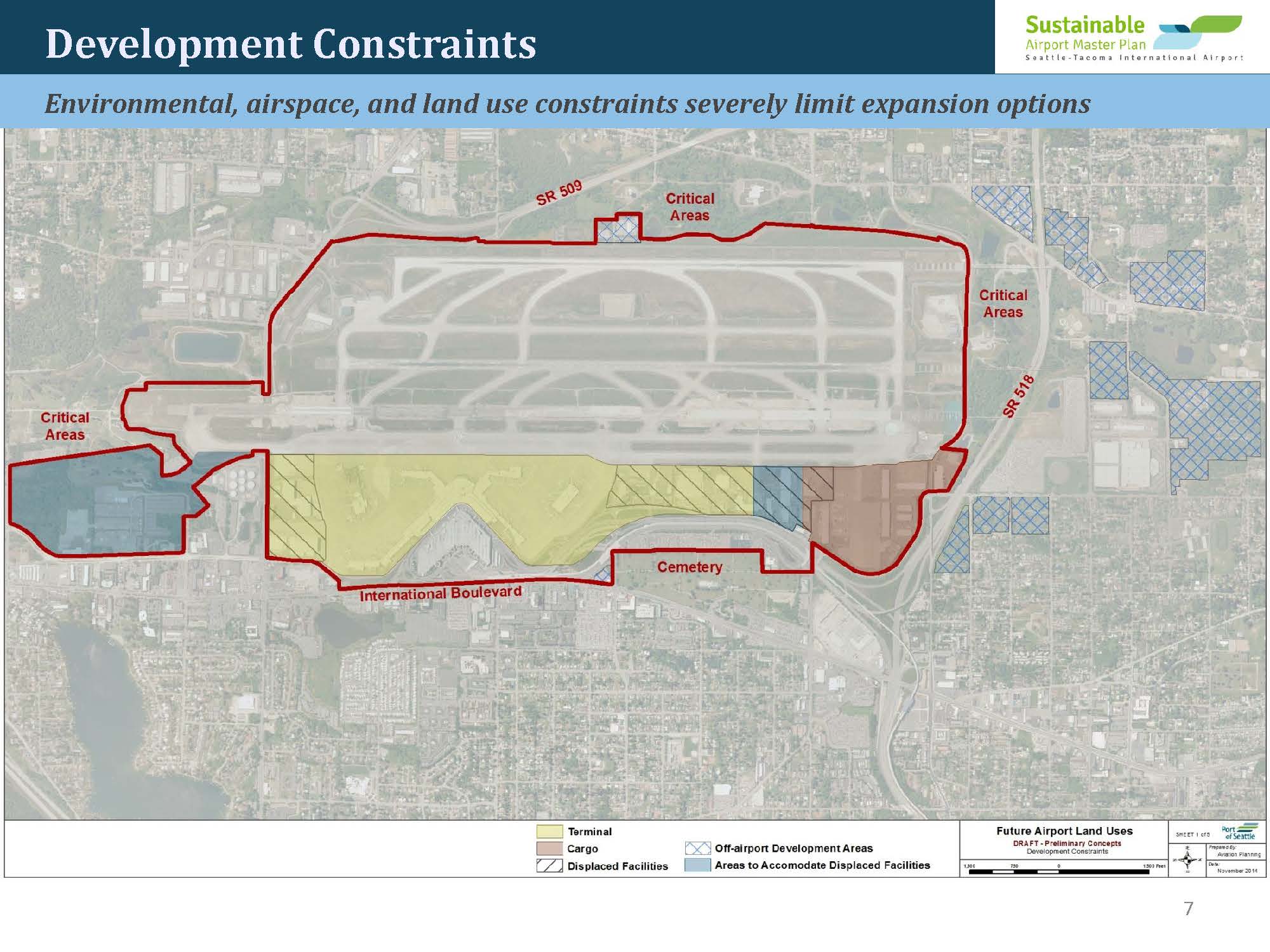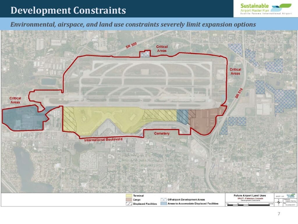
Slide 7 from the Seattle-Tacoma International Airport Sustainable Airport Master Plan (draft, November 2014) showing an aerial map of Sea-Tac Airport annotated with development constraints including Critical Areas, SR 509, SR 518, International Boulevard, and a Cemetery, along with color-coded future land use designations for Terminal, Cargo, Displaced Facilities, Off-airport Development Areas, and Areas to Accommodate Displaced Facilities. The subtitle states that environmental, airspace, and land use constraints severely limit expansion options.Open full document
Notes
Slide 7 from the Seattle-Tacoma International Airport Sustainable Airport Master Plan (draft, November 2014) showing an aerial map of Sea-Tac Airport annotated with development constraints including Critical Areas, SR 509, SR 518, International Boulevard, and a Cemetery, along with color-coded future land use designations for Terminal, Cargo, Displaced Facilities, Off-airport Development Areas, and Areas to Accommodate Displaced Facilities. The subtitle states that environmental, airspace, and land use constraints severely limit expansion options.