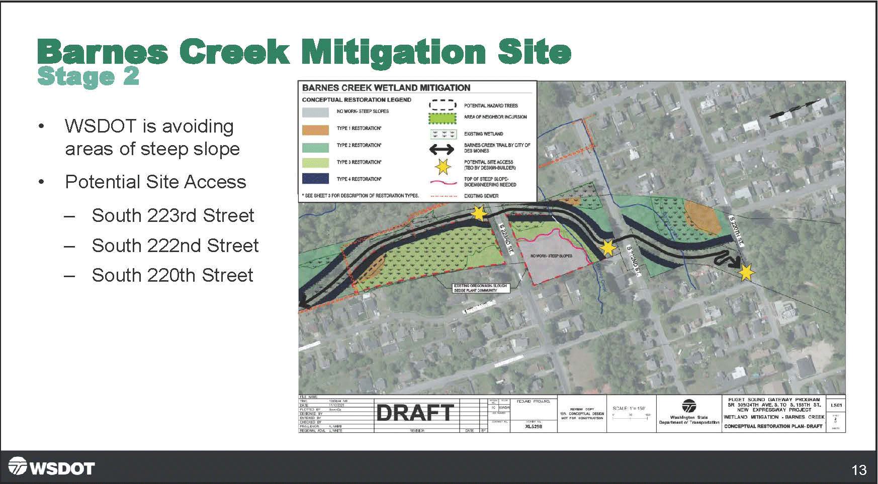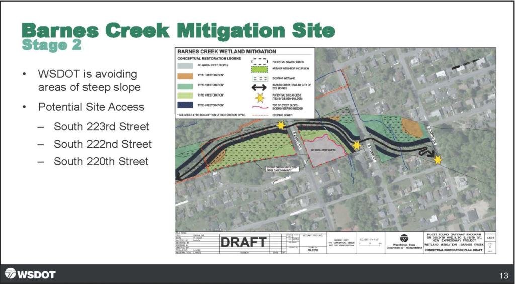
A Washington State Department of Transportation (WSDOT) presentation slide labeled 'Barnes Creek Mitigation Site – Stage 2' showing a draft conceptual restoration plan map for Barnes Creek Wetland Mitigation, part of the Puget Sound Gateway Program SR 509/24th Ave. S. to S. 188th St. New Expressway Project. The slide notes WSDOT is avoiding steep slope areas and identifies three potential site access points at South 223rd Street, South 222nd Street, and South 220th Street.Open full document
Notes
A Washington State Department of Transportation (WSDOT) presentation slide labeled ‘Barnes Creek Mitigation Site – Stage 2’ showing a draft conceptual restoration plan map for Barnes Creek Wetland Mitigation, part of the Puget Sound Gateway Program SR 509/24th Ave. S. to S. 188th St. New Expressway Project. The slide notes WSDOT is avoiding steep slope areas and identifies three potential site access points at South 223rd Street, South 222nd Street, and South 220th Street.