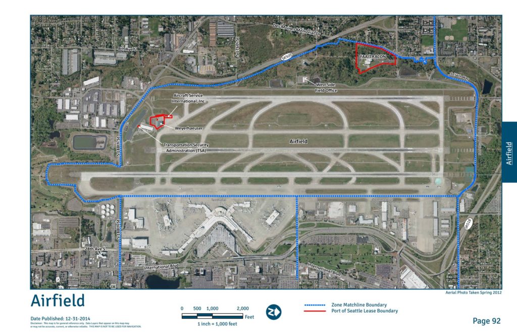
This aerial map, published December 31, 2014, provides a general reference overview of Seattle-Tacoma International Airport's airfield and surrounding zones, including key facilities such as the FAA/TRACON center, Transportation Security Administration (TSA), Aircraft Service International Inc., and Weyerhaeuser properties. The map outlines Port of Seattle lease boundaries and zone matchline boundaries across the airfield, terminal, commercial, and adjacent areas bordered by major roads including SR-518, SR-509, International Blvd, and S 188th Street. It was produced for reference purposes only and is not intended for navigation.Open full document
Notes
An aerial photograph and map of the Sea-Tac Airport airfield zone, taken in spring 2012 and published by the Port of Seattle in December 2014. The map shows the Port of Seattle lease boundary and zone matchline boundaries, with labeled facilities including the FAA/TRACON facility, Transportation Security Administration, Aircraft Service International Inc., Weyerhaeuser, and the West Side Field Office. Surrounding roads and landmarks are also identified.