Progress towards the first aviation air quality network in the nation
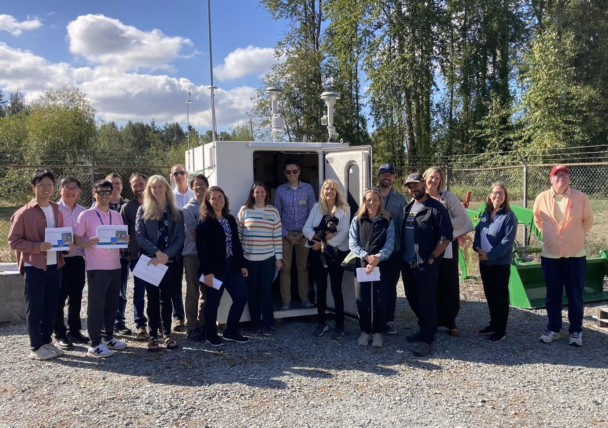
SeaTac: State and local officials from Puget Sound Clean Air Agency (PSCAA) and Des Moines gathered today with researchers from University of Washington Department of Occupation and Environmental Health Sciences (UWDEOHS) at Sunset Park to learn about the latest PSCAA Air monitoring site, and help prepare for a new site in Des Moines to be run by UWDEOHS.
PSCAA Sunset Park Air Quality Monitor Tour Presentation
After several years of delay, the new site has been fully operational since April, providing information on both currently regulated pollutants and ultrafine particles (UFPs) which are unregulated, but a key component of aviation emissions.
Although previous short term studies suggest a wide range of serious health harms from UFPs, to date there hasn’t been the long term data collection necessary to prove causality and lead to regulatory standards.
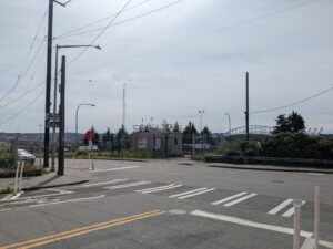 The Sunset Park site is essentially a ‘twin’ of a site originally established at 10th and Weller (Chinatown) to monitor traffic pollution, but upgraded with a 2020 EPA Grant in 2020 to monitor UFPs.
The public can now see near-real-time data from both sites here: http://pscaa-ultrafinepmcurtains-public.s3-website-us-west-2.amazonaws.com/
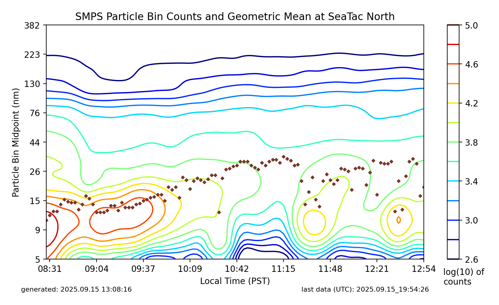
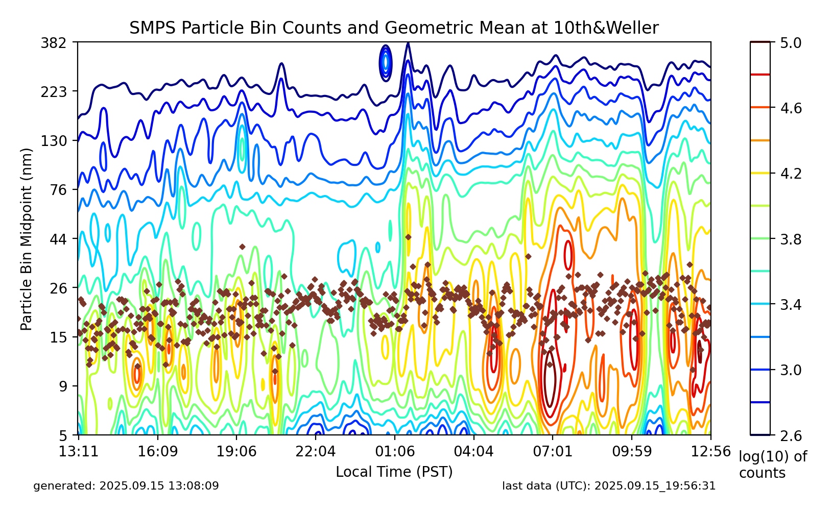
As expected, emissions from the Sunset Park are much lower than the Chinatown site, reflecting the high amount of automotive emissions at that first location. But for aviation researchers this is an advantage since the impact of aviation is much easier to determine.
When the Des Moines site comes on line, researchers will have three vantage points to measure aviation-specific emissions and critically, emissions both north and south of the runways.
Funding for the Des Moines site has been approved by the State legislature. UWDEOHS is awaiting a check from the Dept. of Commerce. This third site will use similar equipment, but will be run by UWDEOHS for the first two years. The hope is to obtain long-term funding similar to the two PSCAA sites.