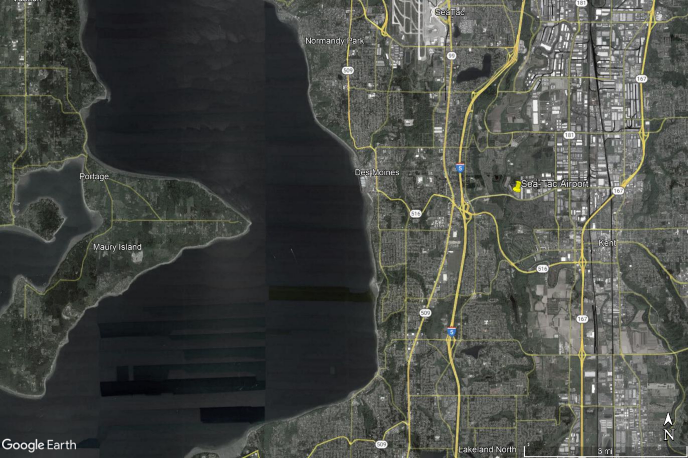
Google Earth aerial/satellite image showing Seattle-Tacoma International Airport (Sea-Tac) and surrounding communities including Des Moines, Normandy Park, Kent, Maury Island, and Portage, with Interstate 5, SR-509, SR-516, and SR-167 visible. The image includes a yellow pin marker at Sea-Tac Airport and covers the broader noise-impact study area west of Puget Sound to east of the airport corridor.Open full document
Notes
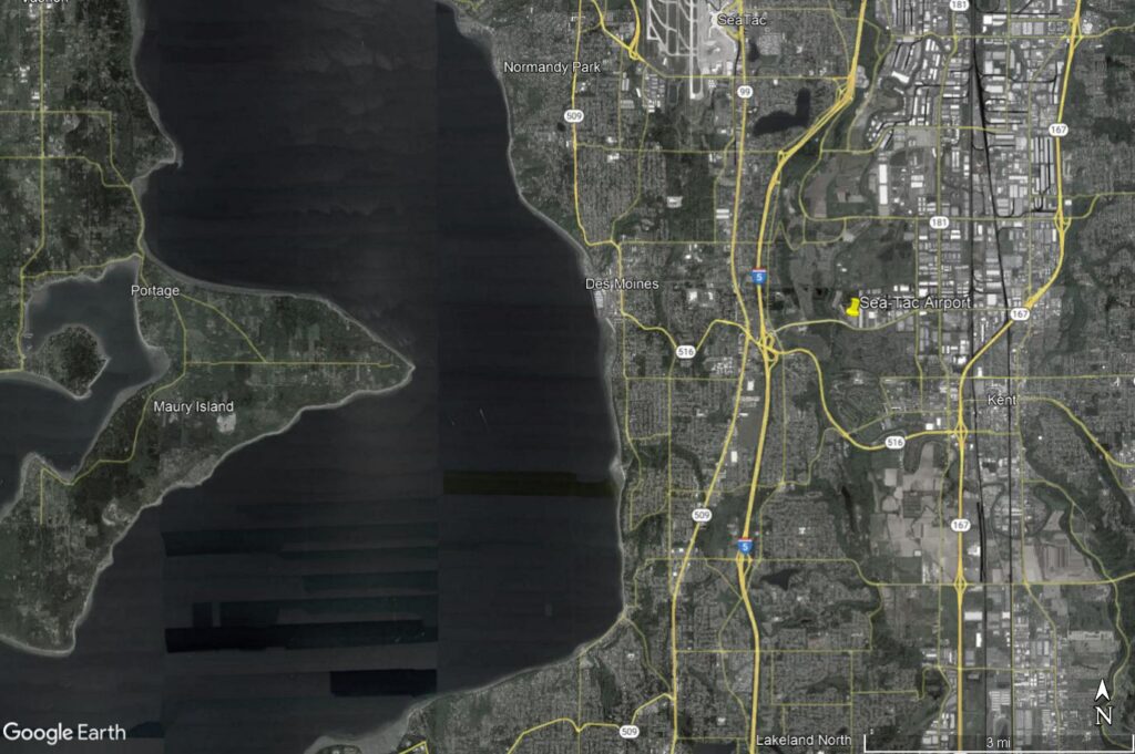
Google Earth aerial/satellite image showing Seattle-Tacoma International Airport (Sea-Tac) and surrounding communities including Des Moines, Normandy Park, Kent, Maury Island, and Portage, with Interstate 5, SR-509, SR-516, and SR-167 visible. The image includes a yellow pin marker at Sea-Tac Airport and covers the broader noise-impact study area west of Puget Sound to east of the airport corridor.