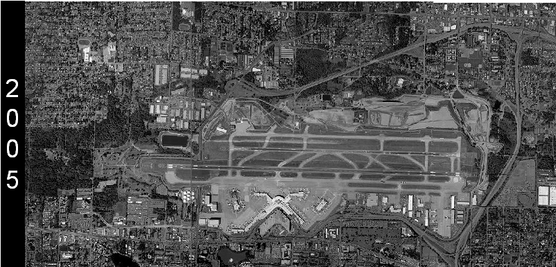
Grayscale satellite or aerial photograph of Seattle-Tacoma International Airport (Sea-Tac) dated 2005, as indicated by the year label on the left margin. The image shows the airport's parallel runways, terminal area, and surrounding urban context.Open full document
Notes
Grayscale satellite or aerial photograph of Seattle-Tacoma International Airport (Sea-Tac) dated 2005, as indicated by the year label on the left margin. The image shows the airport’s parallel runways, terminal area, and surrounding urban context.