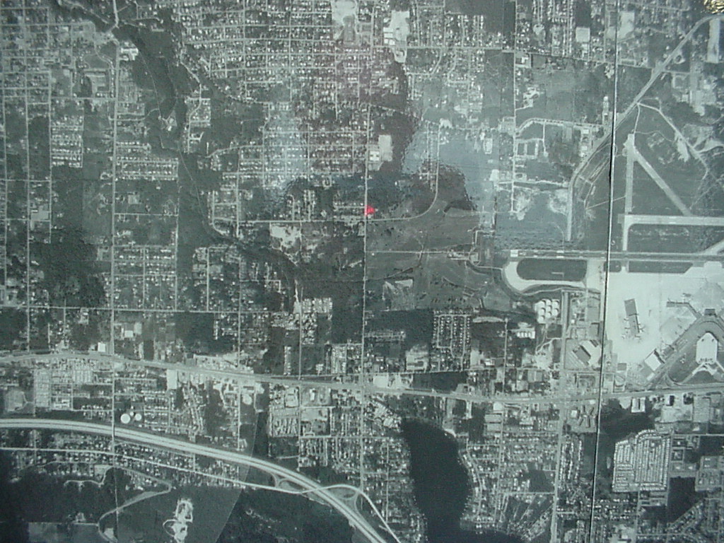
Black-and-white aerial photograph showing a densely developed urban grid with what appears to be an airport facility with runways visible in the upper-right quadrant. A small red marker is visible near the center of the image, possibly indicating a reference point on the map.Open full document
Notes
Black-and-white aerial photograph showing a densely developed urban grid with what appears to be an airport facility with runways visible in the upper-right quadrant. A small red marker is visible near the center of the image, possibly indicating a reference point on the map.