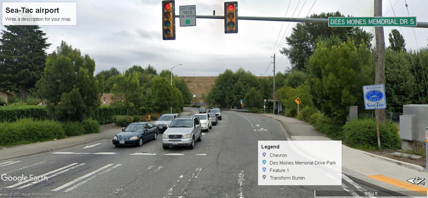
Google Earth street-view image (© 2022 Google / Maxar Technologies) looking north along Des Moines Memorial Drive S at the signalized intersection marking the SeaTac city boundary, as indicated by the visible 'Welcome to SeaTac' city sign on the right. A Google My Maps overlay labels nearby points of interest including Chevron, Des Moines Memorial Drive Park, and Transform Burien, in the context of a Sea-Tac Airport mapping project.Open full document
Notes
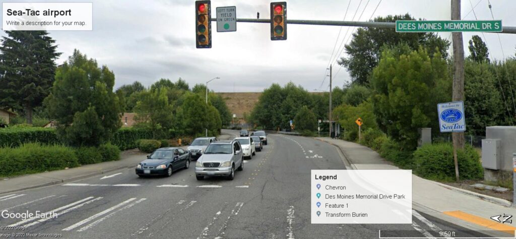
Google Earth street-view image (© 2022 Google / Maxar Technologies) looking north along Des Moines Memorial Drive S at the signalized intersection marking the SeaTac city boundary, as indicated by the visible ‘Welcome to SeaTac’ city sign on the right. A Google My Maps overlay labels nearby points of interest including Chevron, Des Moines Memorial Drive Park, and Transform Burien, in the context of a Sea-Tac Airport mapping project.