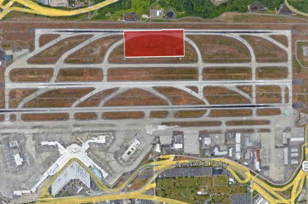
Aerial satellite view of Seattle-Tacoma International Airport (Sea-Tac) showing the runway complex and taxiway system, with a red-highlighted rectangular area marked on one of the runway sections. The Airport Expressway and terminal area are visible in the lower portion of the image.Open full document
Notes
Aerial satellite view of Seattle-Tacoma International Airport (Sea-Tac) showing the runway complex and taxiway system, with a red-highlighted rectangular area marked on one of the runway sections. The Airport Expressway and terminal area are visible in the lower portion of the image.