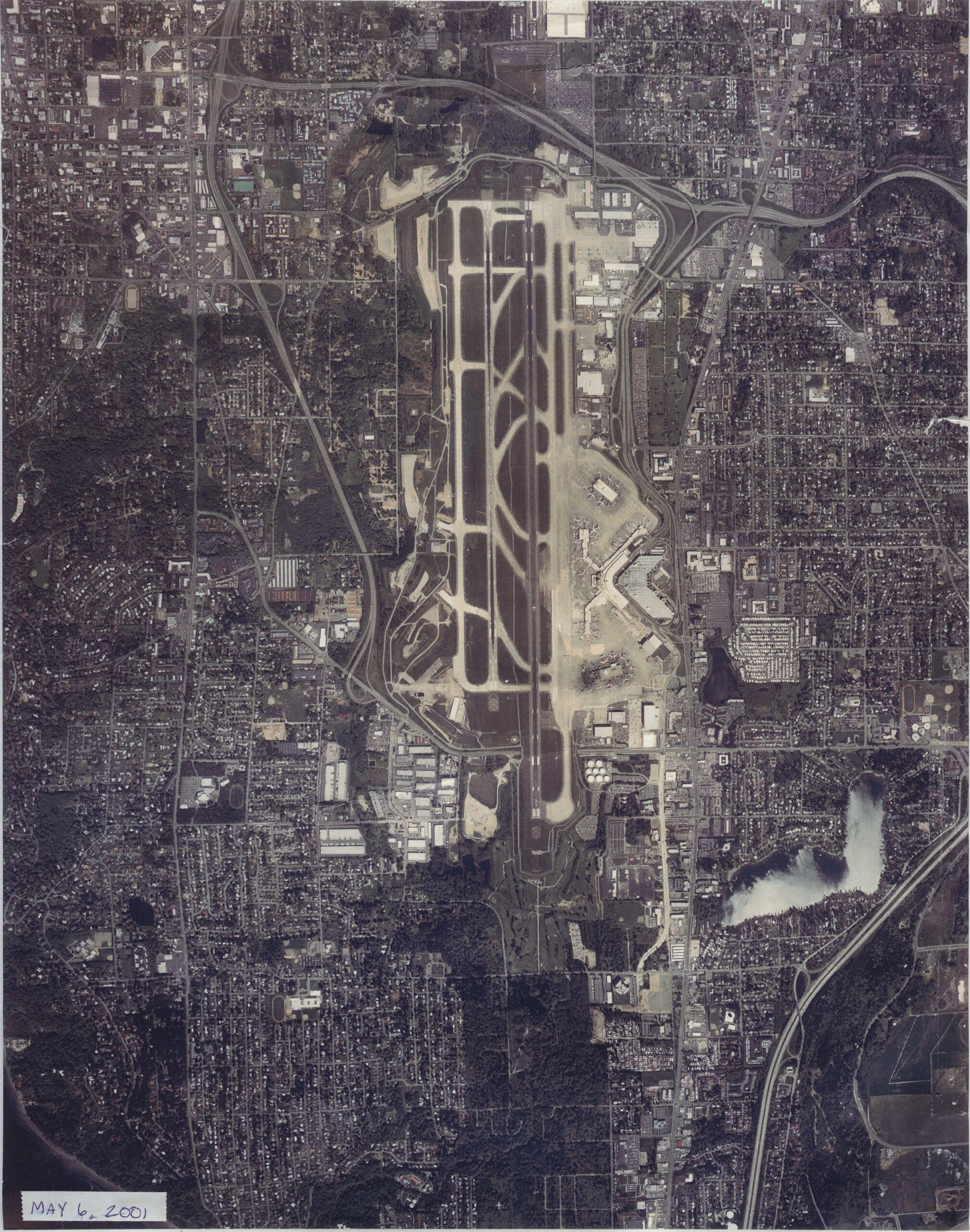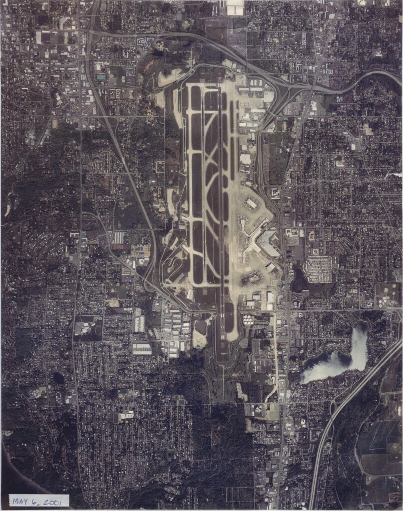
Overhead aerial photograph of Seattle-Tacoma International Airport (Sea-Tac) and surrounding urban areas, dated May 6, 2001 as noted in the lower-left corner. The image shows the airport's parallel runway configuration, terminal area, taxiways, and the dense residential and commercial development surrounding the facility.Open full document
Notes
Overhead aerial photograph of Seattle-Tacoma International Airport (Sea-Tac) and surrounding urban areas, dated May 6, 2001 as noted in the lower-left corner. The image shows the airport’s parallel runway configuration, terminal area, taxiways, and the dense residential and commercial development surrounding the facility.