Notes
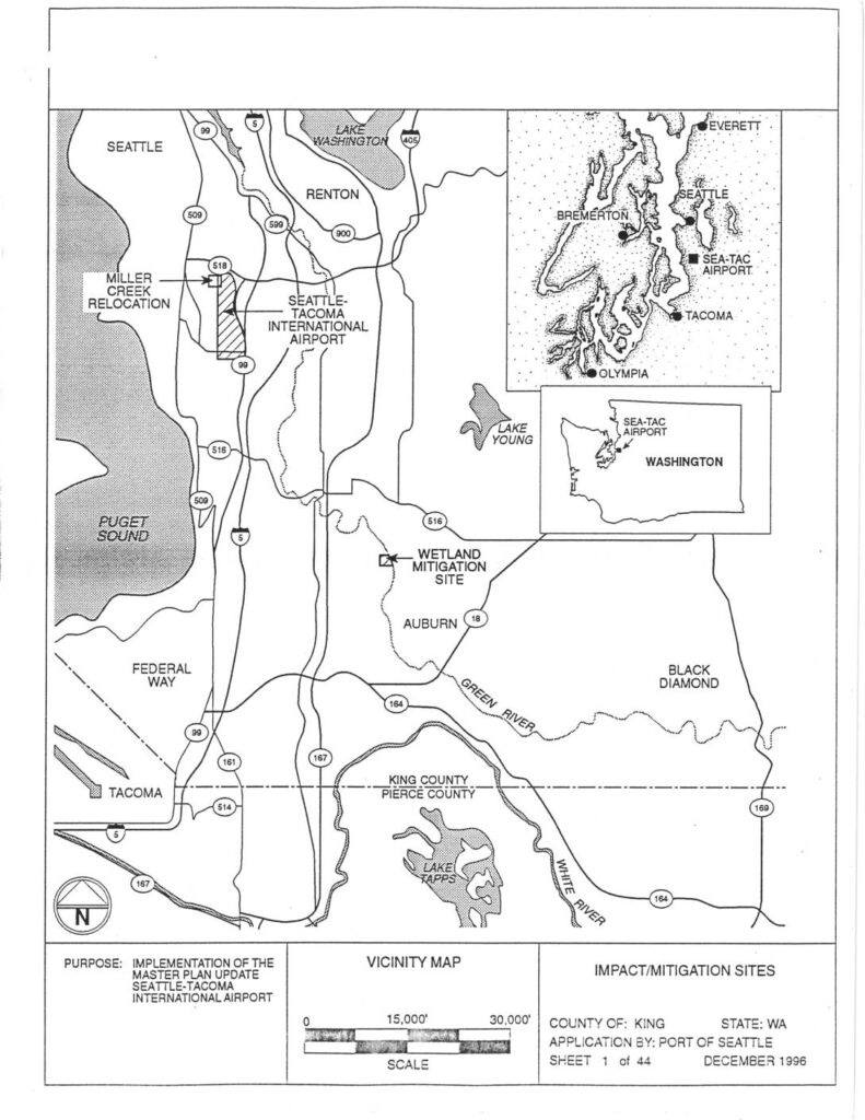
Port of Seattle application documents (Sheet 1–3 of 44, December 1996) supporting implementation of the Seattle-Tacoma International Airport Master Plan Update, covering wetland impact and mitigation sites in King County, WA. Sheets include a vicinity map showing Miller Creek Relocation, Bow Lake, Angle Lake, Lora Lake, Auburn Wetland mitigation site, Des Moines Creek Watershed, and Puget Sound context. Sheet 2 maps 55+ numbered wetlands affected by master plan improvements in Sections 20, 21, 28, 29, 32, 33 (Township 23N, Range 4E) and Sections 4–5 (Township 22N, Range 4E). Sheet 3 provides a detailed table of wetland classification, size (acres), and total impacts by vegetation cover type (Forested, Shrub-Scrub, Emergent) for wetlands 1–29, including mixed types such as Forested/Emergent, Shrub-Scrub/Emergent, and Open Water/Shrub-Scrub. Source data from Shapiro 1995, USGS, and FEMA Map 53033C0954F.