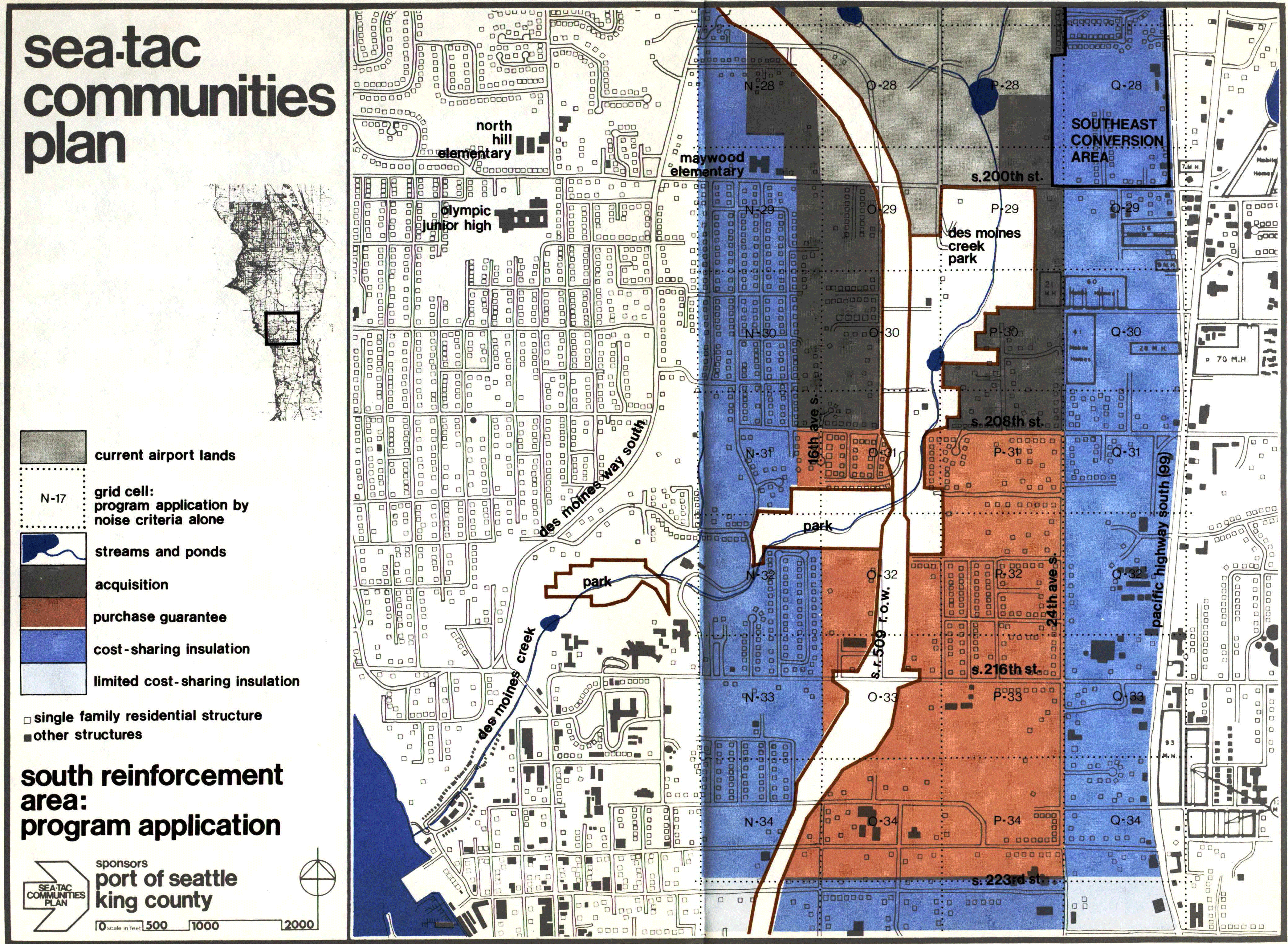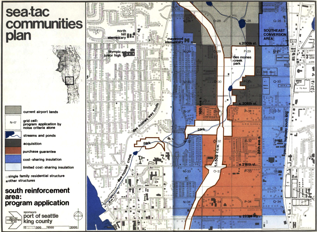
A planning map from the Sea-Tac Communities Plan, sponsored by the Port of Seattle and King County, showing the South Reinforcement Area program application. The map uses color coding to designate zones for acquisition, purchase guarantee, cost-sharing insulation, and limited cost-sharing insulation in the area bounded roughly by S. 200th St. to the north and S. 223rd St. to the south, including grid cells along 16th Ave. S., 24th Ave. S., and Pacific Highway South (SR-99), with a Southeast Conversion Area noted in the upper right.Open full document
Notes
A planning map from the Sea-Tac Communities Plan, sponsored by the Port of Seattle and King County, showing the South Reinforcement Area program application. The map uses color coding to designate zones for acquisition, purchase guarantee, cost-sharing insulation, and limited cost-sharing insulation in the area bounded roughly by S. 200th St. to the north and S. 223rd St. to the south, including grid cells along 16th Ave. S., 24th Ave. S., and Pacific Highway South (SR-99), with a Southeast Conversion Area noted in the upper right.