Notes
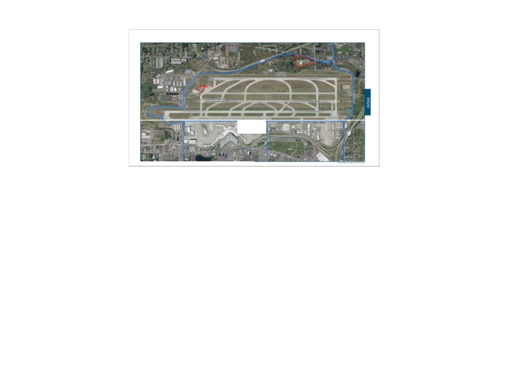
Presentation by Leonard John Mark Smith (Smith AQM) showing aerial maps and flight track data for Sea-Tac Airport. Includes Port Of Seattle lease boundary and zone match line boundary map at 1-inch equals 1,000 feet scale, an aerial overview of the airfield with labeled areas including Transportation Security Administration (TSA), Weatherhaven, and Mount Rainier International Inc., and flight track radar playback screenshots dated August 14, 2019 (08/14/2019 05:48:38 PDT) showing FEDEX 397 missed approach ‘Straight Out’ at 3082 MSL and Alaska 807 departure at 2130 MSL with Non-Standard Turn. Document references Port Of Seattle lease boundary, airfield runways, and AIRTRAC-style flight track visualization.