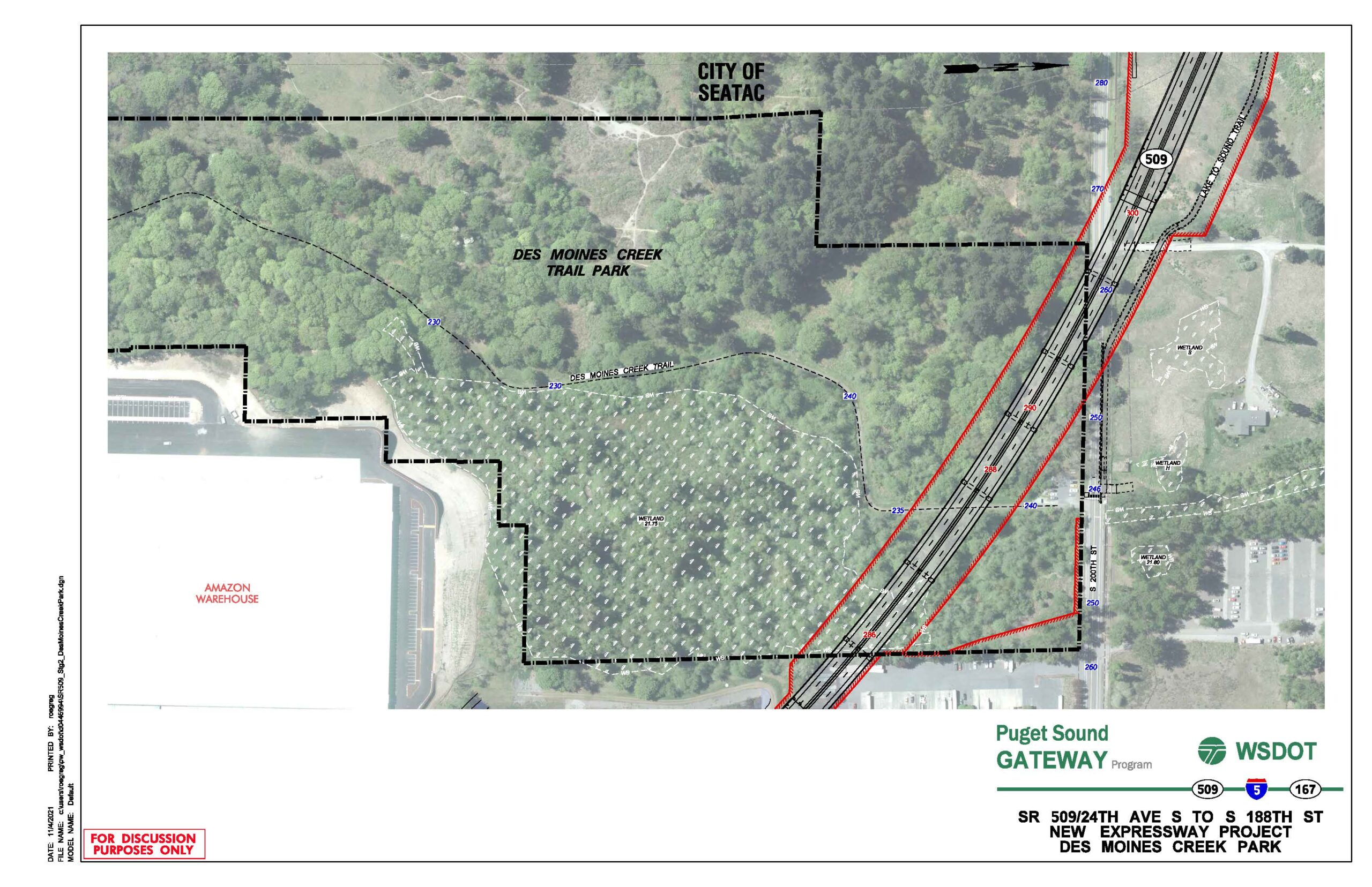
A WSDOT aerial planning map dated 11/6/2021 showing the proposed SR 509 New Expressway alignment (red lines) relative to Des Moines Creek Trail Park, with project boundaries (dashed black lines), wetland areas, contour elevations, and adjacent features including an Amazon Warehouse and the City of SeaTac boundary. The document is labeled 'For Discussion Purposes Only' and is part of the Puget Sound Gateway Program involving SR 509, I-5, and SR 167.Open full document
Notes
A WSDOT aerial planning map dated 11/6/2021 showing the proposed SR 509 New Expressway alignment (red lines) relative to Des Moines Creek Trail Park, with project boundaries (dashed black lines), wetland areas, contour elevations, and adjacent features including an Amazon Warehouse and the City of SeaTac boundary. The document is labeled ‘For Discussion Purposes Only’ and is part of the Puget Sound Gateway Program involving SR 509, I-5, and SR 167.