Notes
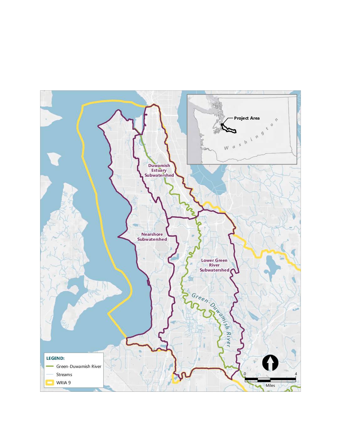
A map showing the mitigation bank service area within WRIA 9 (Water Resource Inventory Area 9), encompassing three subwatersheds: the Lower Green River Subwatershed, the Duwamish Estuary Subwatershed, and the Nearshore Subwatershed. The map displays the Green-Duwamish River and its associated streams in the greater Seattle/King County area of Washington State. An inset map shows the project area’s location within Washington State.