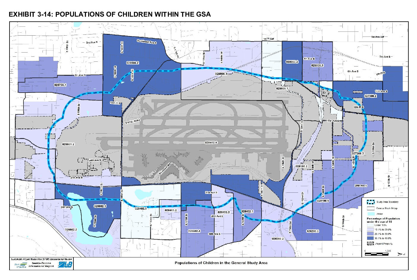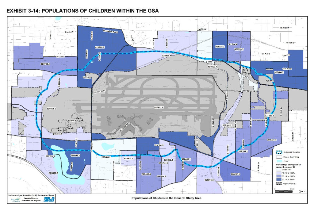
This map, from the Seattle-Tacoma International Airport Sustainable Airport Master Plan (SAMP) Environmental Review, shows census block group data on the percentage of population under age 18 within the General Study Area (GSA) surrounding Sea-Tac Airport. Shading indicates four tiers of child population density (under 10% through 30.1–40%), with the dashed blue line marking the study area boundary around the airport's runways and terminal facilities.Open full document
Notes
Page 2 contains map of GSA