Notes
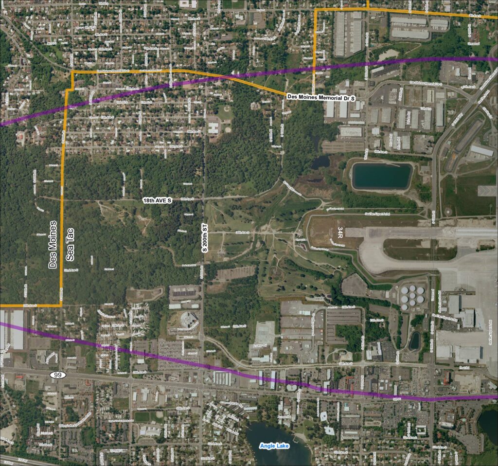
Aerial satellite map showing Grid 2 baseline coverage for 2013, encompassing the Des Moines and SeaTac area in King County, Washington. Map displays street-level detail including Des Moines Memorial Dr S, S 200th St, 18th Ave S, SR 99, I-5 Freeway, Angle Lake, and Sea-Tac Airport runway 34R. Orange boundary lines delineate the Des Moines/SeaTac city boundary area; purple lines indicate an overlay corridor traversing the map east-west. Labeled landmarks include Angle Lake, Sea-Tac Airport access roads, Alaska Corp HQ, Federal Detention Center, and various private roads and residential streets.