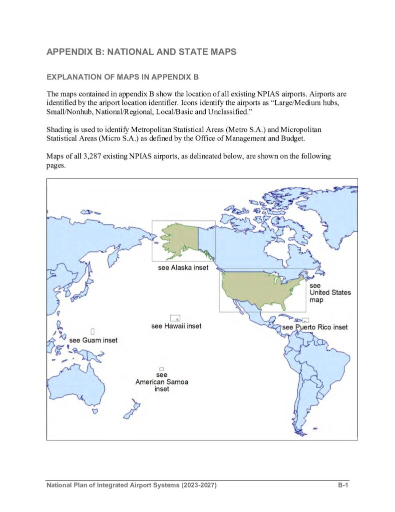
Appendix B of the National Plan of Integrated Airport Systems (NPIAS) 2023-2027 provides national and state maps showing the locations of all 3,287 existing NPIAS airports across the United States and its territories, including Alaska, Hawaii, Puerto Rico, Guam, and American Samoa. Airports are categorized by type — Large/Medium hub, Small/Nonhub, National/Regional, Local/Basic, and Unclassified — and displayed alongside Metropolitan and Micropolitan Statistical Areas. Note that this document covers the broader national airport system and does not contain specific noise policy information related to Sea-Tac Airport.Open full document
Notes
Appendix B of the National Plan of Integrated Airport Systems (NPIAS) 2023-2027 contains national and state maps showing the locations of all 3,287 existing NPIAS airports. Airports are identified by location identifier and categorized as Large/Medium hubs, Small/Nonhub, National/Regional, Local/Basic, or Unclassified. Maps include insets for Alaska, Hawaii, Puerto Rico, the Virgin Islands, Guam, Northern Mariana Islands, and American Samoa.