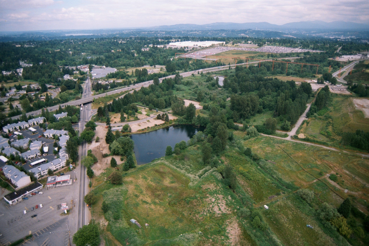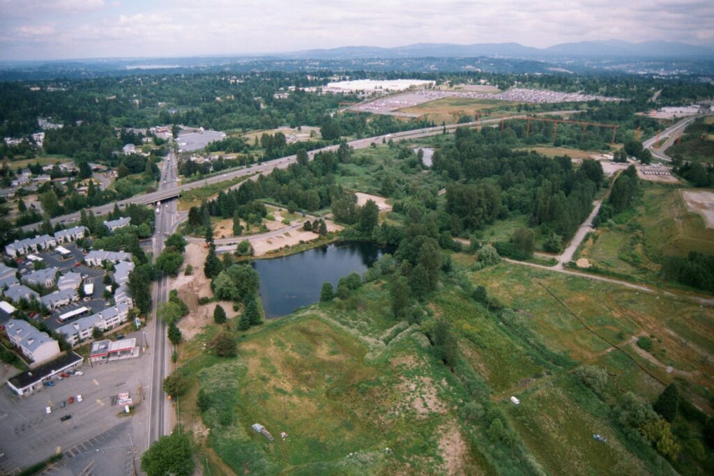
Aerial photograph showing a highway interchange, a small pond or retention basin, residential and commercial development on the left, and extensive undeveloped or semi-developed land to the right. Mountains and a broad forested valley are visible in the background, suggesting a Pacific Northwest setting consistent with the Seattle/Sea-Tac region.Open full document
Notes
Aerial photograph showing a highway interchange, a small pond or retention basin, residential and commercial development on the left, and extensive undeveloped or semi-developed land to the right. Mountains and a broad forested valley are visible in the background, suggesting a Pacific Northwest setting consistent with the Seattle/Sea-Tac region.