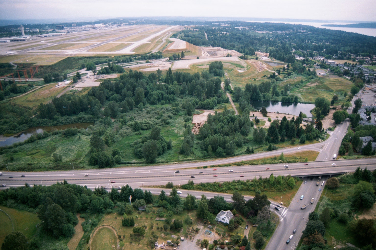
Aerial photograph showing Seattle-Tacoma International Airport runways and terminal in the upper left, with a highway interchange (likely SR-509 or I-5 corridor) in the foreground and Puget Sound visible in the upper right. The image appears to document the airport's environs, including undeveloped green buffer areas and adjacent residential neighborhoods relevant to noise impact studies.Open full document
Notes
Aerial photograph showing Seattle-Tacoma International Airport runways and terminal in the upper left, with a highway interchange (likely SR-509 or I-5 corridor) in the foreground and Puget Sound visible in the upper right. The image appears to document the airport’s environs, including undeveloped green buffer areas and adjacent residential neighborhoods relevant to noise impact studies.