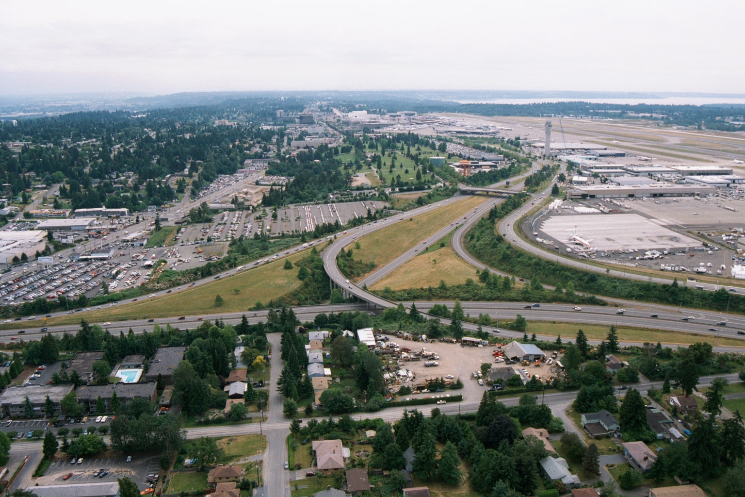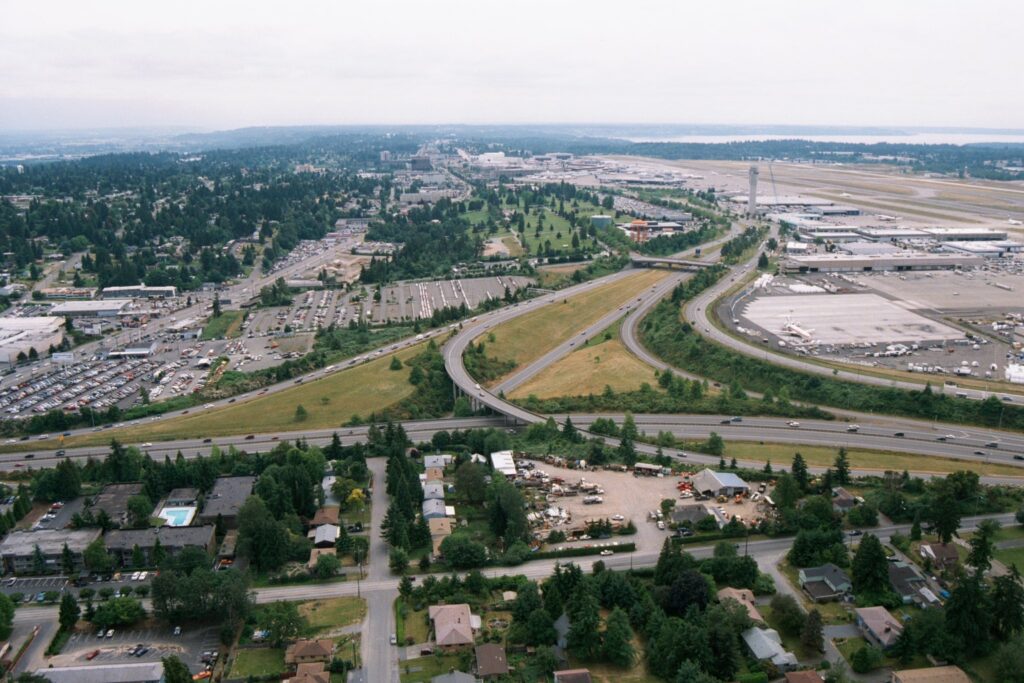
Aerial photograph looking northward toward Seattle-Tacoma International Airport (SEA-TAC), showing the airport terminal, control tower, runways, and aircraft gates on the right, with Interstate 5 interchange in the foreground and Puget Sound visible on the horizon. Residential neighborhoods, commercial properties, and parking areas in the cities of SeaTac or Des Moines are visible in the foreground, illustrating the airport's proximity to surrounding communities relevant to noise-impact planning.Open full document
Notes
Aerial photograph looking northward toward Seattle-Tacoma International Airport (SEA-TAC), showing the airport terminal, control tower, runways, and aircraft gates on the right, with Interstate 5 interchange in the foreground and Puget Sound visible on the horizon. Residential neighborhoods, commercial properties, and parking areas in the cities of SeaTac or Des Moines are visible in the foreground, illustrating the airport’s proximity to surrounding communities relevant to noise-impact planning.