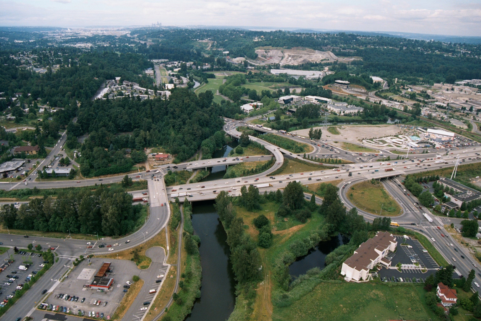
Aerial photograph showing a major highway interchange where a multi-lane freeway crosses a river or creek, surrounded by mixed commercial and residential development with dense tree cover. A skyline consistent with Seattle is faintly visible in the background, suggesting this may be a suburban area south or east of Seattle, possibly along I-405 or a similar corridor.Open full document
Notes
Aerial photograph showing a major highway interchange where a multi-lane freeway crosses a river or creek, surrounded by mixed commercial and residential development with dense tree cover. A skyline consistent with Seattle is faintly visible in the background, suggesting this may be a suburban area south or east of Seattle, possibly along I-405 or a similar corridor.