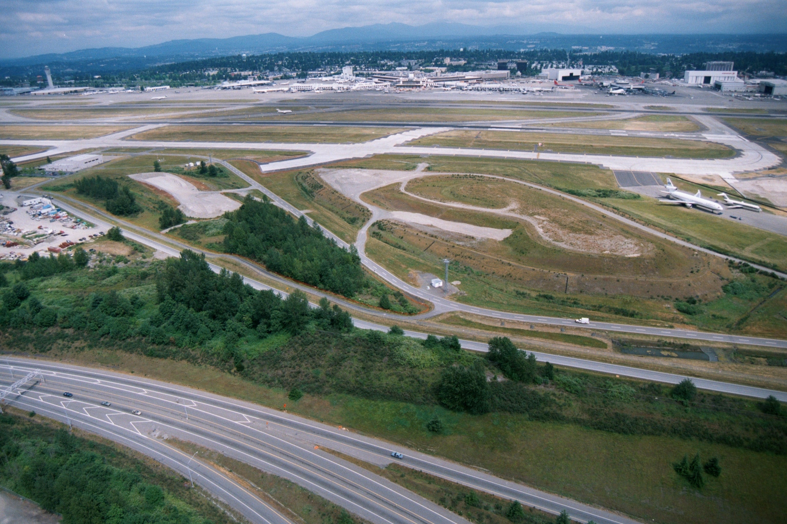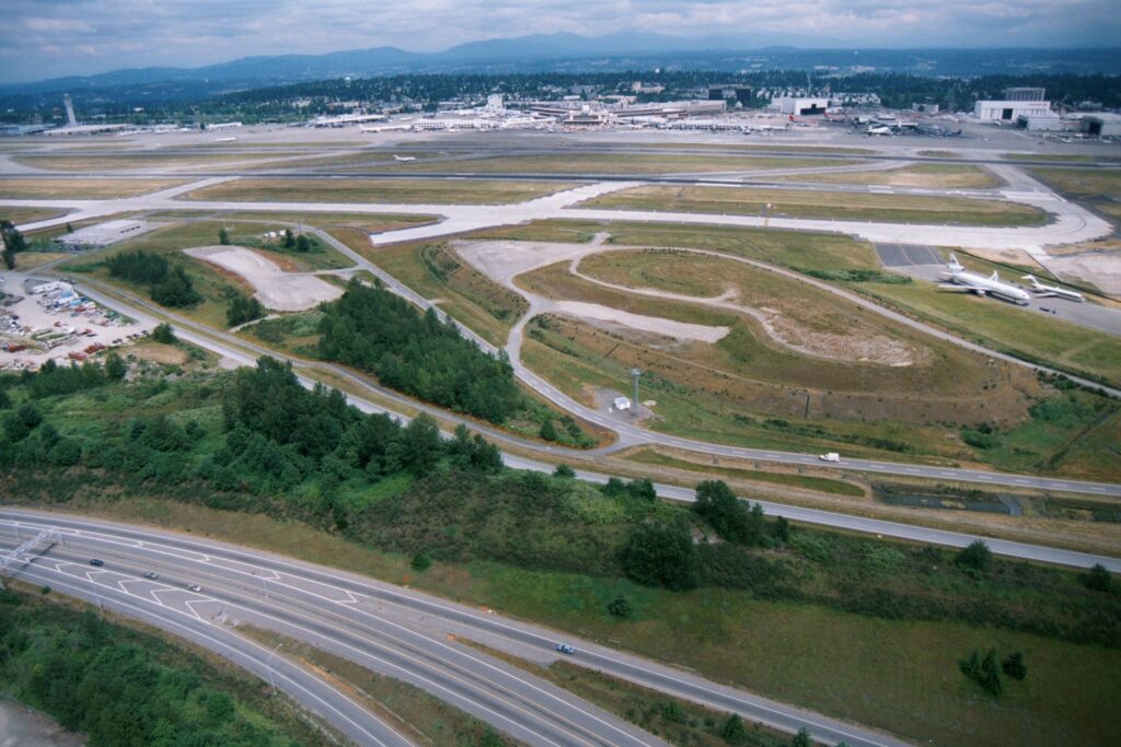
Aerial photograph showing Seattle-Tacoma International Airport's runway and taxiway complex, terminal buildings, and aircraft parking areas, with a multi-lane highway (likely Interstate 5 or SR 99) and undeveloped greenbelt land in the foreground. Two white commercial aircraft are visible on the right side of the airfield; mountains and suburban development are visible in the background.Open full document
Notes
Aerial photograph showing Seattle-Tacoma International Airport’s runway and taxiway complex, terminal buildings, and aircraft parking areas, with a multi-lane highway (likely Interstate 5 or SR 99) and undeveloped greenbelt land in the foreground. Two white commercial aircraft are visible on the right side of the airfield; mountains and suburban development are visible in the background.