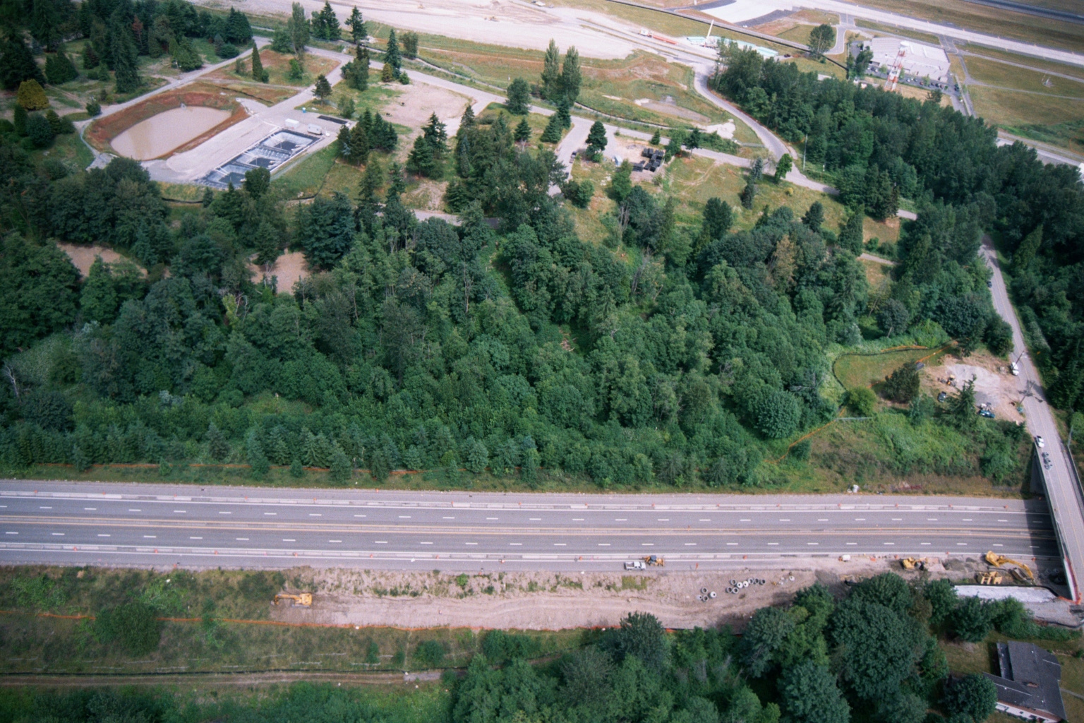
Aerial photograph showing a multi-lane highway running diagonally across the frame, with a dense forested buffer zone to the north and active construction equipment visible along the roadway margin. A water treatment or retention facility with rectangular settling ponds is visible in the upper left, and what appears to be an airport runway or taxiway is visible at the top of the frame.Open full document
Notes
Aerial photograph showing a multi-lane highway running diagonally across the frame, with a dense forested buffer zone to the north and active construction equipment visible along the roadway margin. A water treatment or retention facility with rectangular settling ponds is visible in the upper left, and what appears to be an airport runway or taxiway is visible at the top of the frame.