Notes
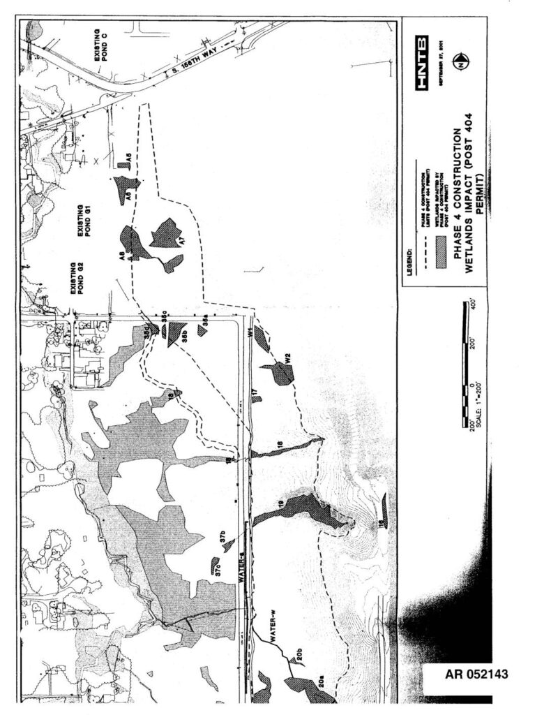
HNTB-prepared maps dated September 27, 2001 showing Phase 4 Construction Wetlands Impact under Post 404 Permit at Sea-Tac Airport. Administrative Record documents AR052143 and AR052144 depict wetland areas impacted by Phase 4 construction, including labeled wetland polygons (A5, A6, A7, A8, W1, W2, wetlands 16, 18, 19, 20a, 20b, 21, 22, 23, 35a, 35b, 35c, 36a, 36b, 37b, 37c), existing ponds (Pond C, Pond G1, Pond G2), water features (WATER-E, WATER-W), and road references including S. 158th Way and 42nd Ave S. Scale 1 inch equals 200 feet.