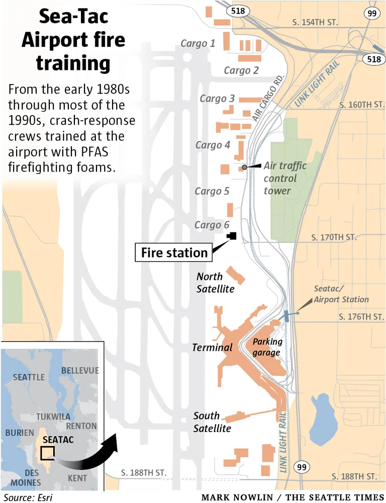
An infographic by Mark Nowlin published in The Seattle Times, sourced from Esri, showing a map of Seattle-Tacoma International Airport (Sea-Tac) and its cargo facilities, fire station, terminals, and Link Light Rail corridor. The graphic explains that from the early 1980s through most of the 1990s, crash-response crews trained at the airport using PFAS firefighting foams.Open full document
Notes
An infographic by Mark Nowlin published in The Seattle Times, sourced from Esri, showing a map of Seattle-Tacoma International Airport (Sea-Tac) and its cargo facilities, fire station, terminals, and Link Light Rail corridor. The graphic explains that from the early 1980s through most of the 1990s, crash-response crews trained at the airport using PFAS firefighting foams.