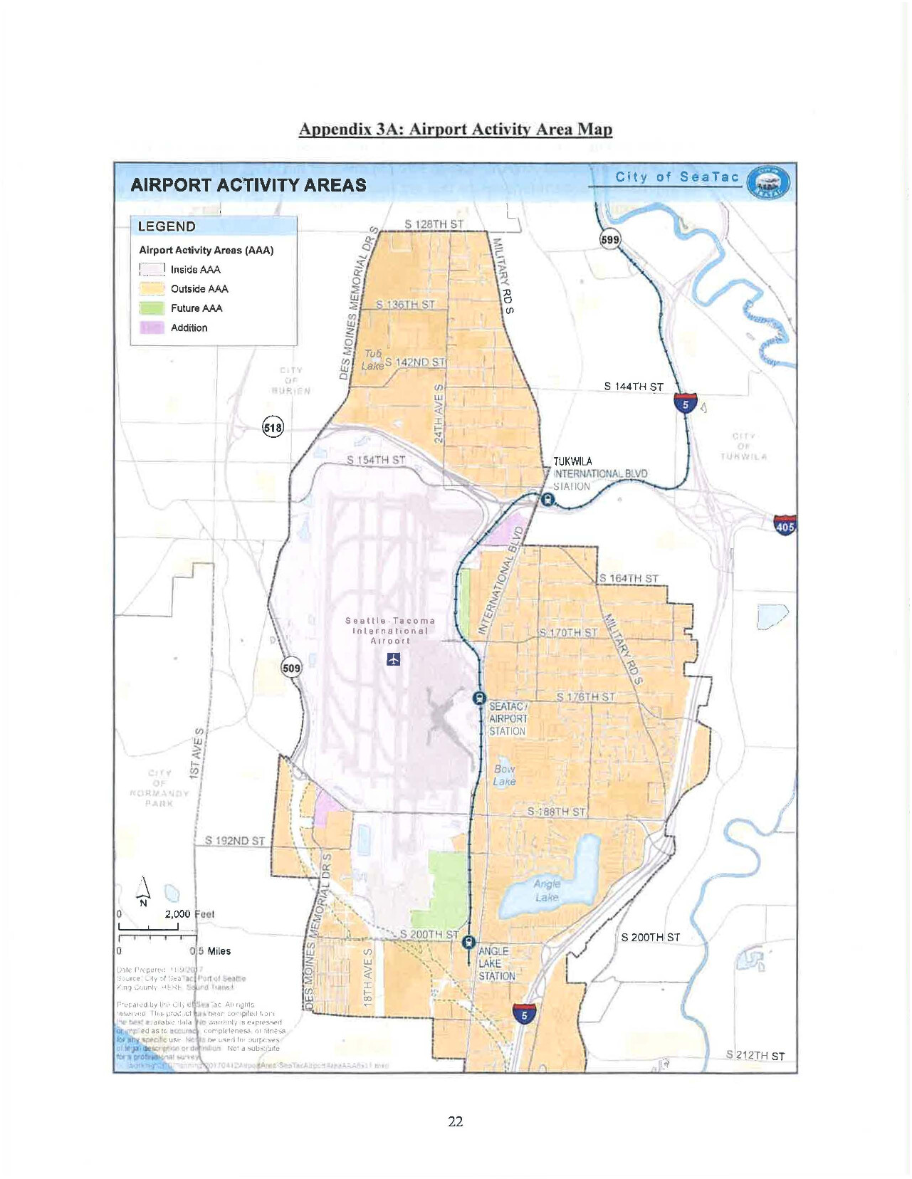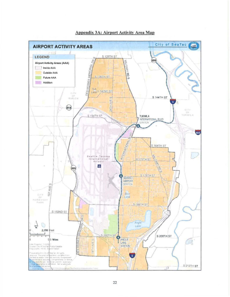
This official map from the City of SeaTac, prepared in coordination with the Port of Seattle and King County Metro Sound Transit, delineates Airport Activity Areas (AAA) around Seattle-Tacoma International Airport, distinguishing Inside AAA, Outside AAA, Future AAA, and Addition zones. The map shows surrounding jurisdictions including Burien, Tukwila, and Normandy Park, major roads, transit stations (SeaTac/Airport Station, Tukwila International Blvd Station, Angle Lake Station), and key highways including SR 509, SR 518, SR 599, I-5, and I-405.Open full document
Notes
This 2018 Interlocal Agreement between the Port of Seattle and the City of SeaTac establishes a comprehensive framework governing their cooperative relationship. It covers land use and development standards, transportation coordination, and permitting and inspections related to Sea-Tac Airport and surrounding areas. The agreement addresses topics including zoning designations, airport activity areas, transportation impacts, and dispute resolution.