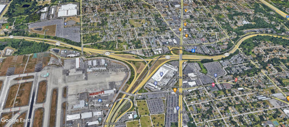
Google Earth satellite image showing the SR-518 freeway interchange adjacent to Seattle-Tacoma International Airport, with visible labels identifying Riverton Heights neighborhood, DHL Express ServicePoint, FedEx Ship Center, Enterprise Rent-A-Car, SeaTac Rental Car Facility, MasterPark Lot C, and airport cargo facilities. The image captures the noise-sensitive residential and commercial areas immediately east of the airport's runway complex.Open full document
Notes
Google Earth satellite image showing the SR-518 freeway interchange adjacent to Seattle-Tacoma International Airport, with visible labels identifying Riverton Heights neighborhood, DHL Express ServicePoint, FedEx Ship Center, Enterprise Rent-A-Car, SeaTac Rental Car Facility, MasterPark Lot C, and airport cargo facilities. The image captures the noise-sensitive residential and commercial areas immediately east of the airport’s runway complex.